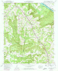
1947 Map of Newsome Sinks
USGS Topo · Published 1974About this map
Newsome Sinks and the surrounding Newsome Ridge dominate this North Alabama landscape, where the borders of Morgan, Marshall, and Madison counties converge. The terrain is defined by dramatic elevation changes, from the heights of Benton Round Mountain and Guillon Mtn down to the Merritt Bottom. This 1940s survey reveals a dispersed rural community organized around crossroads like Allens Crossroads and small settlements such as Morgan City and Apple Grove. The Heart of Dixie Highway serves as a primary north-south artery, cutting through the center of the sheet.
Find a feature on this map
94 named features on this map. Tap any name to fly to it.
Don’t see what you’re looking for? This feature index may not catch every label — zoom into the map to look around manually.
Map Details
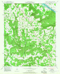
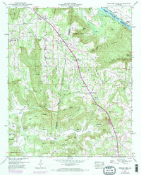
Editions of this 1947 Newsome Sinks Map
3 editions found
Other maps of this area

1885 · Gadsden
USGS Topo · 1:125,000

1888 · Cullman
USGS Topo · 1:125,000

1888 · Gadsden
USGS Topo · 1:125,000

1888 · Scottsboro
USGS Topo · 1:125,000

1888 · Huntsville
USGS Topo · 1:125,000

1892 · Cullman
USGS Topo · 1:125,000

1892 · Huntsville
USGS Topo · 1:125,000

1892 · Scottsboro
USGS Topo · 1:125,000

1892 · Gadsden
USGS Topo · 1:125,000

1895 · Gadsden
USGS Topo · 1:125,000