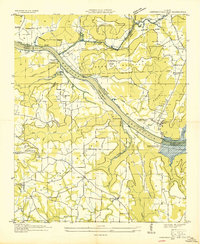
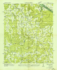
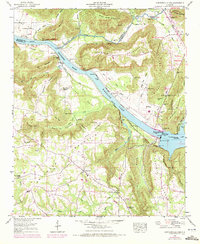
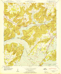
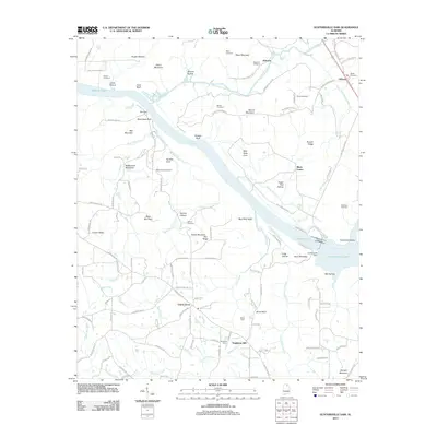
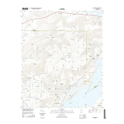
1947 Map of Newsome Sinks
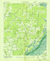
USGS Topo · Published 1974About this map
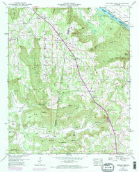
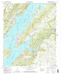
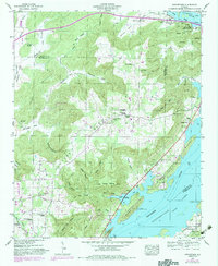
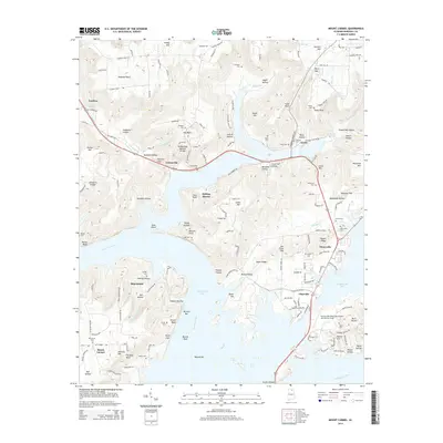
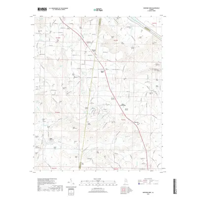
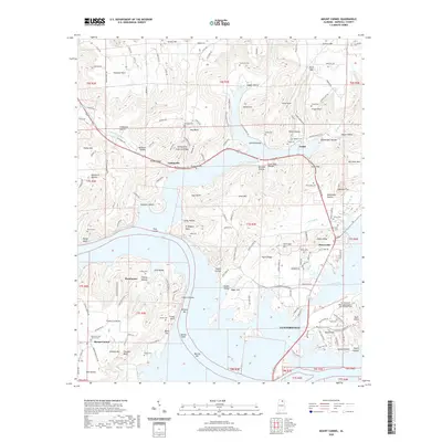
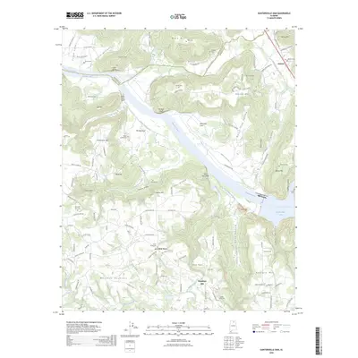
Wheeler Lake defines the northern edge of this landscape where the Tennessee River borders Madison and Marshall Counties. The terrain transitions from the water's edge at Clarksville Landing through a series of prominent elevations like Cedar Mountain and Pritchett Mountain. Human activity is centered around the Heart of Dixie Highway, which connects the small communities of Morgan City and Rescue. The map reveals a dense network of local landmarks, including the Mt Tabor Ch and Pleasant Valley Church, alongside numerous family-named burial grounds such as Saints Cem and Polly Cem.
Find a feature on this map
78 named features on this map. Tap any name to fly to it.
Don’t see what you’re looking for? This feature index may not catch every label — zoom into the map to look around manually.
Map Details
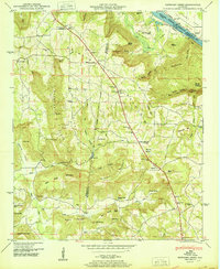
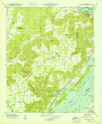
Editions of this 1947 Newsome Sinks Map
3 editions found
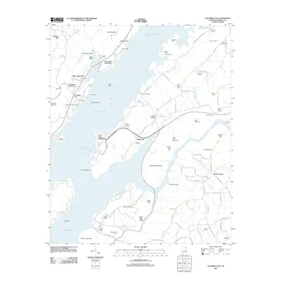
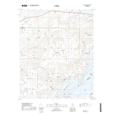
Historical Maps of Apple Grove Through Time
46 maps found
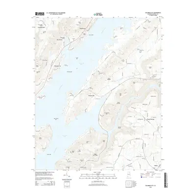
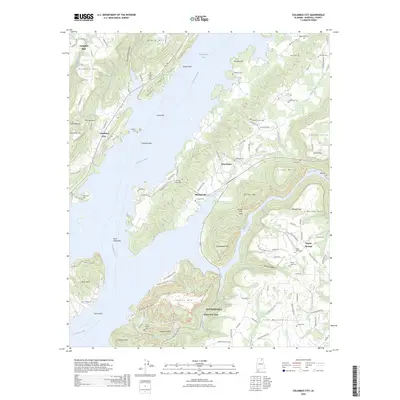
1936 Columbus City
Marshall County, AL
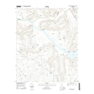
1936 Guntersville Dam
Marshall County, AL
1936 High Point
Marshall County, AL
1936 Mountainboro
Marshall County, AL
1936 Mt Carmel
Marshall County, AL
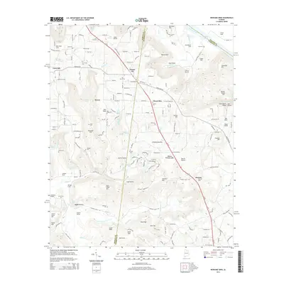
1936 Newsome Sinks
Marshall County, AL
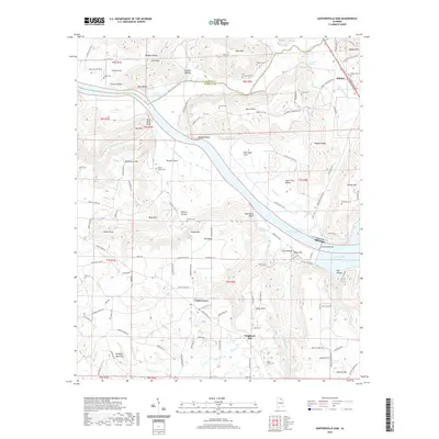
1936 Swearengin
Marshall County, AL
1947 Columbus City
Marshall County, AL
1947 Newsome Sinks
Marshall County, AL
1947 Swearengin
Marshall County, AL
1948 Guntersville Dam
Marshall County, AL
1948 Mt Carmel
Marshall County, AL
1949 Columbus City
Marshall County, AL
1950 Guntersville Dam
Marshall County, AL
1950 Mt Carmel
Marshall County, AL
1950 Newsome Sinks
Marshall County, AL
1950 Swearengin
Marshall County, AL

1984 Mt Carmel
Marshall County, AL
2011 Columbus City
Marshall County, AL
2011 Guntersville Dam
Marshall County, AL
2011 Mount Carmel
Marshall County, AL
2011 Newsome Sinks
Marshall County, AL
2011 Swearengin
Marshall County, AL
2014 Columbus City
Marshall County, AL
2014 Guntersville Dam
Marshall County, AL
2014 Mount Carmel
Marshall County, AL
2014 Newsome Sinks
Marshall County, AL
2014 Swearengin
Marshall County, AL
2018 Columbus City
Marshall County, AL
2018 Guntersville Dam
Marshall County, AL
2018 Mount Carmel
Marshall County, AL
2018 Newsome Sinks
Marshall County, AL
2018 Swearengin
Marshall County, AL
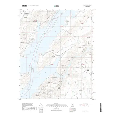
2020 Columbus City
Marshall County, AL
2020 Guntersville Dam
Marshall County, AL
2020 Mount Carmel
Marshall County, AL
2020 Newsome Sinks
Marshall County, AL
2020 Swearengin
Marshall County, AL
2024 Columbus City
Marshall County, AL
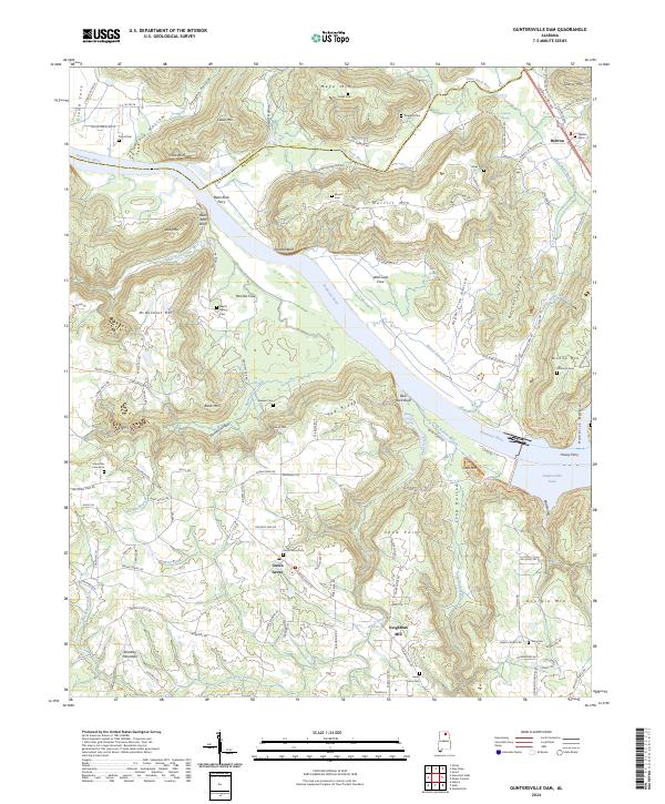
2024 Guntersville Dam
Marshall County, AL
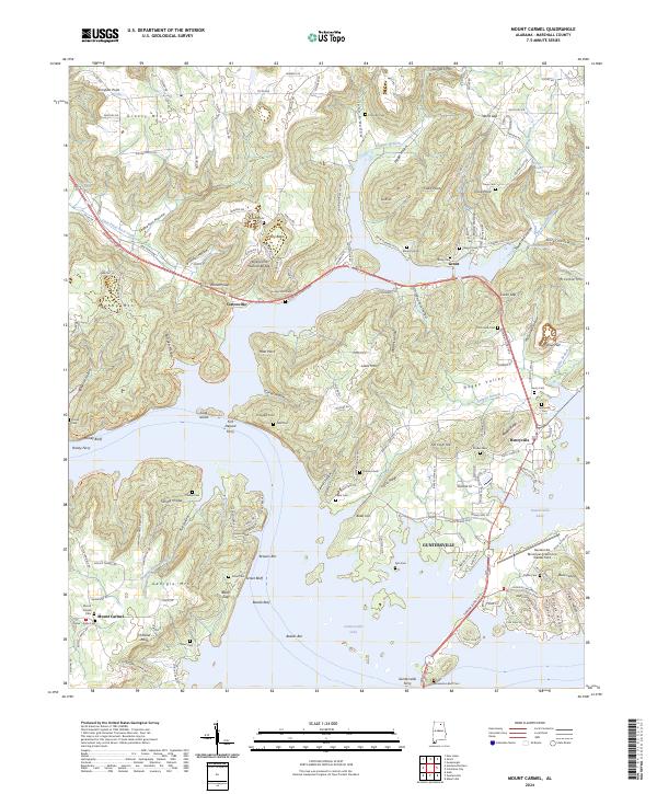
2024 Mount Carmel
Marshall County, AL

2024 Newsome Sinks
Marshall County, AL
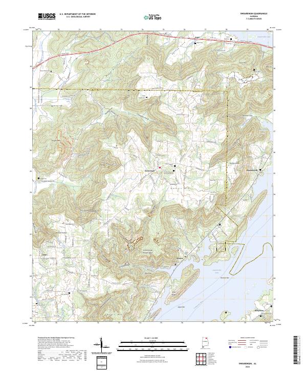
2024 Swearengin
Marshall County, AL
2026 Columbus City
Marshall County, AL
2026 Guntersville Dam
Marshall County, AL
2026 Newsome Sinks
Marshall County, AL