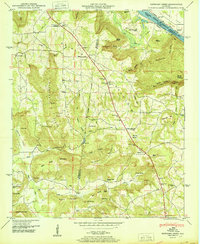
1950 Map of Newsome Sinks
USGS Topo · Published 1950About this map
Brindley Mountain and the jagged topography of the Newsome Sinks dominate this 1950 survey, which captures a rural landscape straddling the Morgan and Marshall County line. The northern edge follows the Tennessee River where it forms the Wheeler Reservoir, showing the N C & St L Ry Ferry crossing near Clarksville Landing. The settlement pattern reflects a mid-century agricultural community defined by numerous small churches and family burial grounds, including Mt Tabor Ch and Saints Cem.
Find a feature on this map
95 named features on this map. Tap any name to fly to it.
Don’t see what you’re looking for? This feature index may not catch every label — zoom into the map to look around manually.
Map Details
Editions of this 1950 Newsome Sinks Map
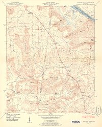
2 editions found
Other maps of this area

1885 · Gadsden
USGS Topo · 1:125,000

1888 · Cullman
USGS Topo · 1:125,000

1888 · Gadsden
USGS Topo · 1:125,000

1888 · Scottsboro
USGS Topo · 1:125,000

1888 · Huntsville
USGS Topo · 1:125,000

1892 · Cullman
USGS Topo · 1:125,000

1892 · Huntsville
USGS Topo · 1:125,000

1892 · Scottsboro
USGS Topo · 1:125,000

1892 · Gadsden
USGS Topo · 1:125,000

1895 · Gadsden
USGS Topo · 1:125,000