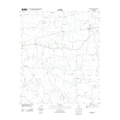
2012 Map of Newsome
USGS Topo · Published 2012About this map
Newsome and Scroggins anchor this pocket of Northeast Texas, where a dense network of county roads connects rural crossroads and family settlements. The landscape is defined by the branching tributaries of Brushy Cr, including the S Fork Brushy Cr and Briary Cr, which carve through the undulating terrain near Stivers Hill. Genealogists will find a high concentration of burial grounds distributed across the countryside, including Monday Cem, Clearwater Cem, and Hepsibah Cem, providing critical geographic context for local families. In the southern portion of the quadrangle, Pineview sits near the headwaters of S Lilly Cr and the Elwood Club Lake recreation area. This 2012 survey illustrates the modern road infrastructure, such as Farm Road 1448 and FM 115, that has evolved over decades of rural agricultural and residential development.
Find a feature on this map
113 named features on this map. Tap any name to fly to it.
Don’t see what you’re looking for? This feature index may not catch every label — zoom into the map to look around manually.
Map Details
Editions of this 2012 Newsome Map
This is the sole edition of this map. No revisions or reprints were ever made.
Other maps of this area

1953 · Texarkana
USGS Topo · 1:250,000

1956 · Texarkana
USGS Topo · 1:250,000

1956 · Tyler
USGS Topo · 1:250,000

1960 · Winnsboro
USGS Topo · 1:24,000

1960 · Cartwright
USGS Topo · 1:24,000

1960 · Thomas
USGS Topo · 1:24,000

1960 · Newsome
USGS Topo · 1:24,000

1960 · Leesburg
USGS Topo · 1:24,000

1960 · Rhonesboro
USGS Topo · 1:24,000

1964 · Purley
USGS Topo · 1:24,000