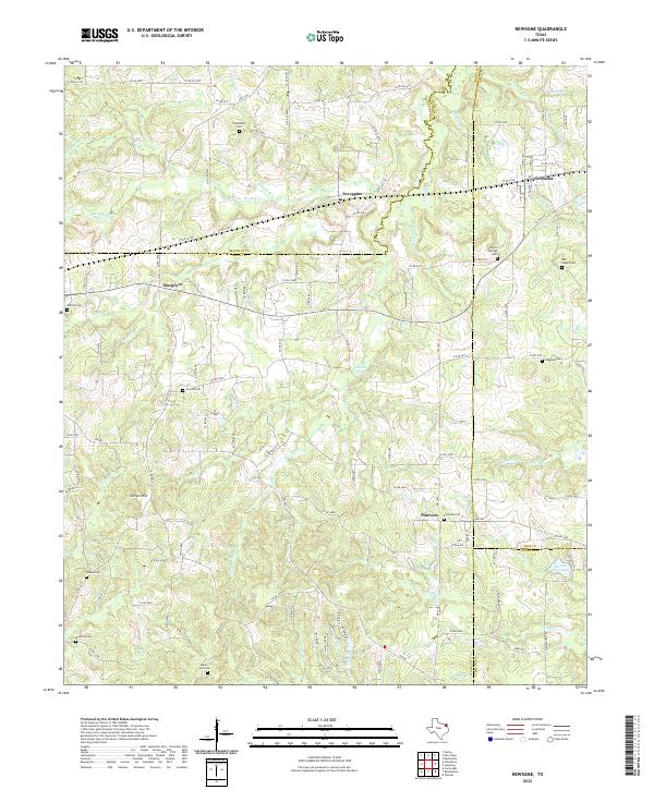
2022 Map of Newsome
USGS Topo · Published 2022About this map
Scroggins and Newsome sit at the northern edge of this East Texas study, marking a landscape where four counties—Franklin, Wood, Camp, and Upshur—converge. The area is defined by a dense network of creek branches and springs, including Brushy Cr and the waters of S Lilly Cr flowing toward the southeast. Genealogists will find a high concentration of burial grounds throughout these rural woodlots, from Clearwater Cem near the northern border to Mount Zion Cem in the south. The terrain rises slightly at Stivers Hill, while the local economy is mapped through a web of farm-to-market roads like FM 1448 and FM 115. Near the southern boundary, Elwood Club Lake provides a rare contained water body amidst the winding paths of Caney Cr and Duffy Br.
Find a feature on this map
46 named features on this map. Tap any name to fly to it.
Don’t see what you’re looking for? This feature index may not catch every label — zoom into the map to look around manually.
Map Details
Editions of this 2022 Newsome Map
This is the sole edition of this map. No revisions or reprints were ever made.
Historical Maps of Scroggins Through Time
16 maps found
1959 Calvary
Wood County, TX
1959 Golden
Wood County, TX
1960 Cartwright
Wood County, TX
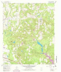
1960 Hainesville
Wood County, TX
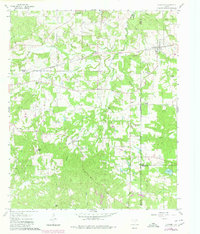
1960 Newsome
Wood County, TX
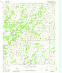
1960 Pleasant Grove
Wood County, TX
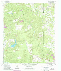
1960 Rhonesboro
Wood County, TX
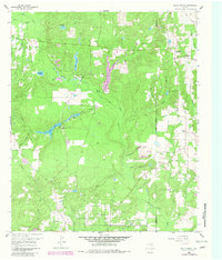
1960 Shady Grove
Wood County, TX
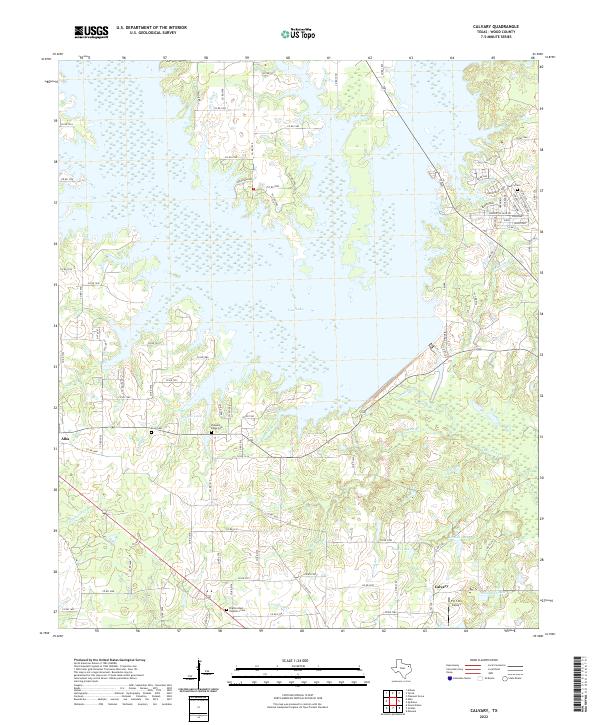
2022 Calvary
Wood County, TX
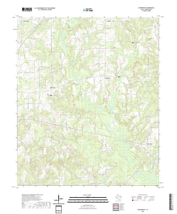
2022 Cartwright
Wood County, TX
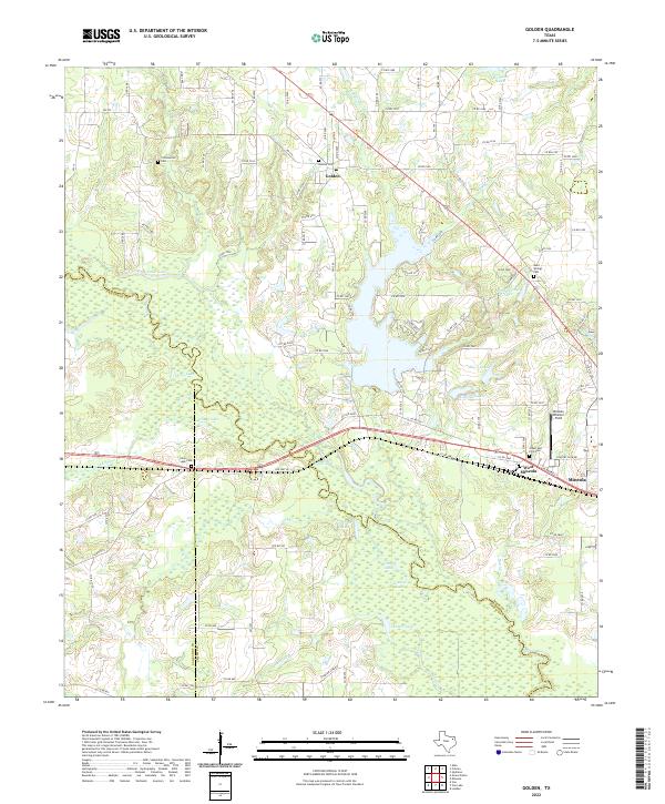
2022 Golden
Wood County, TX
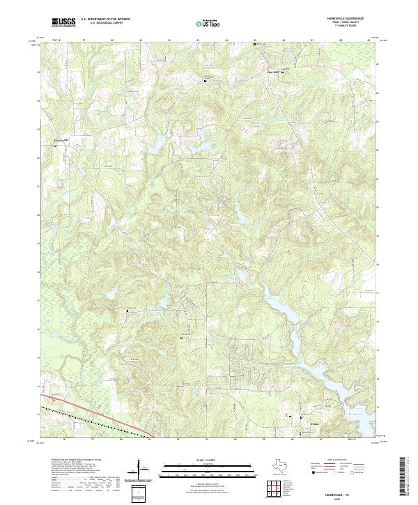
2022 Hainesville
Wood County, TX
2022 Newsome
Wood County, TX
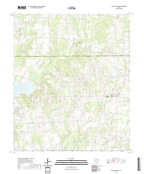
2022 Pleasant Grove
Wood County, TX
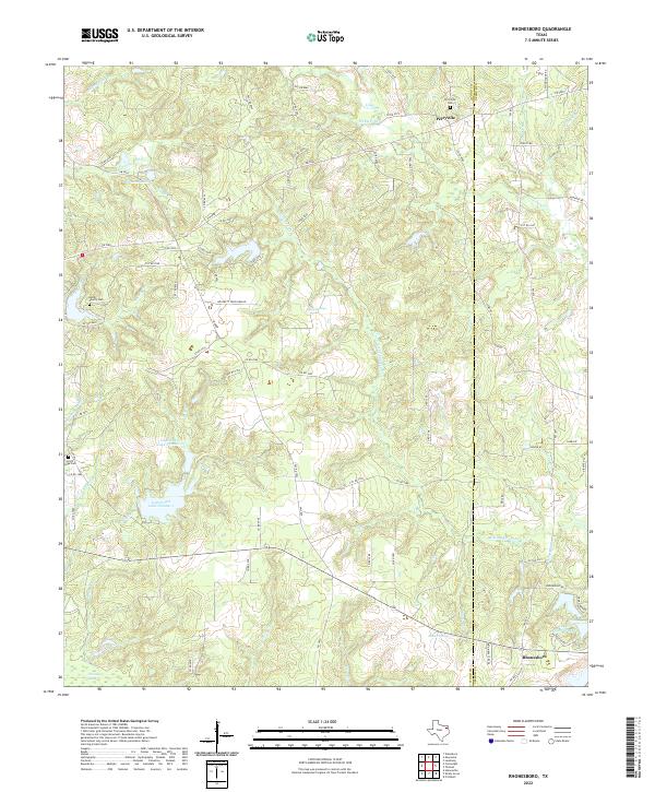
2022 Rhonesboro
Wood County, TX
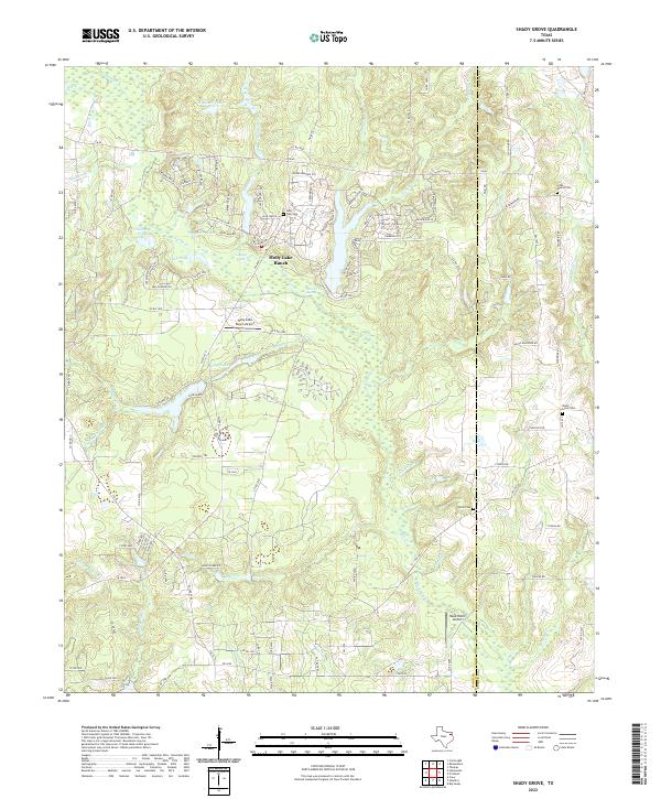
2022 Shady Grove
Wood County, TX