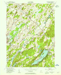
1954 Map of Newton East
USGS Topo · Published 1955About this map
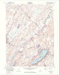
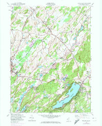
The town of Newton serves as a focal point in this mid-century portrait of Sussex County, where the transition from agricultural landscapes to lakeside residential development is clearly visible. The southern portion of the sheet is dominated by the sprawling waters of Lake Mohawk and New Wawayanda Lake, while the northern reaches maintain a more rural character defined by the winding course of Paulins Kill. This era shows a complex rail infrastructure still in place, including the New York Susquehanna and Western and the Lehigh and Hudson River railroads, which facilitated the region's milk and mineral transport.
Find a feature on this map
57 named features on this map. Tap any name to fly to it.
Don’t see what you’re looking for? This feature index may not catch every label — zoom into the map to look around manually.
Map Details
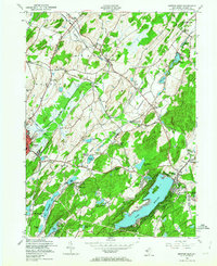
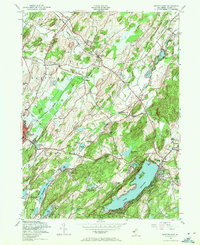
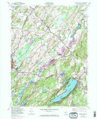
Editions of this 1954 Newton East Map
6 editions found
Other maps of this area

1888 · Franklin
USGS Topo · 1:62,500

1888 · Hackettstown
USGS Topo · 1:62,500

1888 · Lake Hopatcong
USGS Topo · 1:62,500

1891 · Wallpack
USGS Topo · 1:62,500

1893 · Wallpack
USGS Topo · 1:62,500

1894 · Hackettstown
USGS Topo · 1:62,500

1894 · Lake Hopatcong
USGS Topo · 1:62,500

1894 · Franklin
USGS Topo · 1:62,500

1897 · Franklin
USGS Topo · 1:62,500

1898 · Lake Hopatcong
USGS Topo · 1:62,500