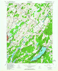
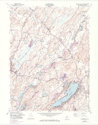
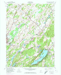
1954 Map of Newton East
USGS Topo · Published 1964About this map
Mohawk Lake and the surrounding Sparta Mountains anchor this mid-century look at Sussex County, where the transition from agricultural valley to industrial and recreational highland is clearly visible. The landscape is defined by its complex hydrology and dense infrastructure, with the Paulins Kill draining the northern reaches and a series of lakes, including New Wawayanda Lake and Lake Grinnell, dotting the terrain. The presence of specialized sites like Hyper-Humas Sta near Warbasse reflects local peat or humus harvesting industries of the era.
Find a feature on this map
55 named features on this map. Tap any name to fly to it.
Don’t see what you’re looking for? This feature index may not catch every label — zoom into the map to look around manually.
Map Details
Editions of this 1954 Newton East Map
6 editions found
Other maps of this area

1888 · Franklin
USGS Topo · 1:62,500

1888 · Hackettstown
USGS Topo · 1:62,500

1888 · Lake Hopatcong
USGS Topo · 1:62,500

1891 · Wallpack
USGS Topo · 1:62,500

1893 · Wallpack
USGS Topo · 1:62,500

1894 · Hackettstown
USGS Topo · 1:62,500

1894 · Lake Hopatcong
USGS Topo · 1:62,500

1894 · Franklin
USGS Topo · 1:62,500

1897 · Franklin
USGS Topo · 1:62,500

1898 · Lake Hopatcong
USGS Topo · 1:62,500