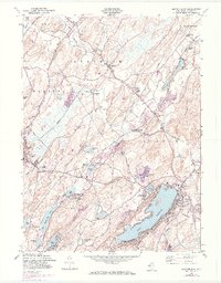
1954 Map of Newton East
USGS Topo · Published 1974About this map
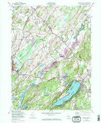
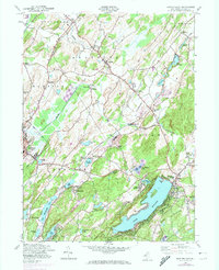
Mohawk Lake and the Sparta Mountains anchor the southeastern portion of this landscape, where the growing community of Sparta is mapped in detail alongside the older rail stops of Sparta Station and Sparta Junction. The 1954 cultural layer, updated in 1971, reveals a region defined by its water and industrial infrastructure. The Paulins Kill river winds through the western townships, passing near Warbasse and the Hyper-Humas Sta. A complex network of rail lines, including the Lehigh and Hudson River and segments of the Old Railroad Grade, illustrates the transport history connecting local hamlets like Lafayette, Ackerson, and Pinkneyville. From the residential streets of Newton to the rural tracts of Germany Flats, the map documents a shift from rural industry, evidenced by Sussex Mills, toward the post-war development of lakefront communities and recreational sites such as the Drive-in Theater.
Find a feature on this map
56 named features on this map. Tap any name to fly to it.
Don’t see what you’re looking for? This feature index may not catch every label — zoom into the map to look around manually.
Map Details
Editions of this 1954 Newton East Map
6 editions found
Other maps of this area

1888 · Franklin
USGS Topo · 1:62,500

1888 · Hackettstown
USGS Topo · 1:62,500

1888 · Lake Hopatcong
USGS Topo · 1:62,500

1891 · Wallpack
USGS Topo · 1:62,500

1893 · Wallpack
USGS Topo · 1:62,500

1894 · Hackettstown
USGS Topo · 1:62,500

1894 · Lake Hopatcong
USGS Topo · 1:62,500

1894 · Franklin
USGS Topo · 1:62,500

1897 · Franklin
USGS Topo · 1:62,500

1898 · Lake Hopatcong
USGS Topo · 1:62,500