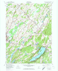
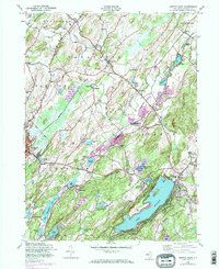
1954 Map of Newton East
USGS Topo · Published 1974About this map
Lake Mohawk dominates the southeastern quadrant of this Sussex County landscape, serving as a focal point for a region defined by its numerous glacial water bodies and narrow valley corridors. The 1954 culture revision highlights the intricate rail network of the era, including the Lehigh and New England Railroad and the Lehigh and Hudson River Railway crossing through Lafayette and Warbasse. The Germany Flats region offers a distinct contrast to the surrounding Pimple Hills and Sparta Mountains, revealing how topography dictated the placement of small rural hubs like Ackerson and Sparta Junction. Cultural landmarks such as the Waugh Cem and Township Sch near Sparta provide specific points of interest for genealogists and local historians, while the presence of Sussex Mills and Mulford Station points to an earlier industrial and transit-based economy that shaped the county.
Find a feature on this map
55 named features on this map. Tap any name to fly to it.
Don’t see what you’re looking for? This feature index may not catch every label — zoom into the map to look around manually.
Map Details
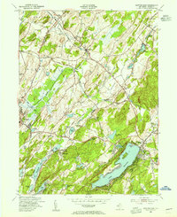
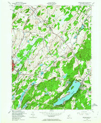
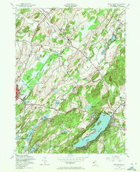
Editions of this 1954 Newton East Map
6 editions found
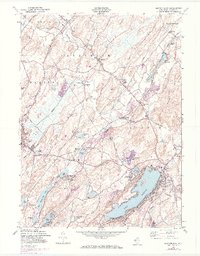
Other maps of this area

1888 · Franklin
USGS Topo · 1:62,500

1888 · Hackettstown
USGS Topo · 1:62,500

1888 · Lake Hopatcong
USGS Topo · 1:62,500

1891 · Wallpack
USGS Topo · 1:62,500

1893 · Wallpack
USGS Topo · 1:62,500

1894 · Hackettstown
USGS Topo · 1:62,500

1894 · Lake Hopatcong
USGS Topo · 1:62,500

1894 · Franklin
USGS Topo · 1:62,500

1897 · Franklin
USGS Topo · 1:62,500

1898 · Lake Hopatcong
USGS Topo · 1:62,500