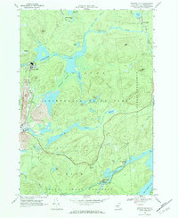
1968 Map of Newton Falls
USGS Topo · Published 1984About this map
The Oswegatchie River snakes through this 1968 study of the northern Adirondacks, anchoring a landscape where industrial activity and educational forestry intersect with the wilderness. The settlement of Newton Falls sits at the heart of local operations, supported by a Penn Central rail line and punctuated by evidence of resource extraction including a Strip Mine, Mine Dump, and an Industrial Waste Pond. This era shows the working character of the woods before modern preservation shifts altered the regional economy.
Find a feature on this map
44 named features on this map. Tap any name to fly to it.
Don’t see what you’re looking for? This feature index may not catch every label — zoom into the map to look around manually.
Map Details
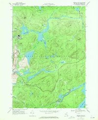
Editions of this 1968 Newton Falls Map
2 editions found
Other maps of this area

1915 · Russell
USGS Topo · 1:62,500

1916 · Oswegatchie
USGS Topo · 1:62,500

1918 · Russell
USGS Topo · 1:62,500

1918 · Oswegatchie
USGS Topo · 1:62,500

1919 · Cranberry Lake
USGS Topo · 1:62,500

1921 · Cranberry Lake
USGS Topo · 1:62,500

1921 · Stark
USGS Topo · 1:62,500

1923 · Stark
USGS Topo · 1:62,500

1931 · Cranberry Lake
USGS Topo · 1:62,500

1940 · Stark
USGS Topo · 1:62,500