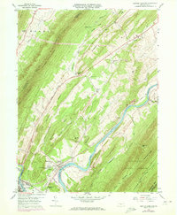
1959 Map of Newton Hamilton
USGS Topo · Published 1972About this map
The Juniata River winds through a narrow gap between Jacks Mountain and Tuscarora Mountain, anchoring a corridor of historical development in Mifflin and Huntingdon Counties. The borough of Newton Hamilton sits at a prominent river bend, serving as a focal point for the surrounding rural valleys. During this era, the Penn Central railroad line traces the riverbank, connecting small riverside settlements like Ryde and Kistler while providing a vital transportation artery through the gaps.
Find a feature on this map
50 named features on this map. Tap any name to fly to it.
Don’t see what you’re looking for? This feature index may not catch every label — zoom into the map to look around manually.
Map Details
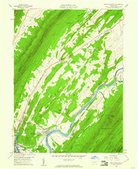
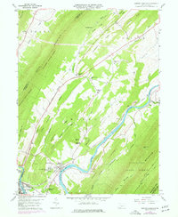
Editions of this 1959 Newton Hamilton Map
3 editions found
Other maps of this area

1919 · Mattawana
USGS Topo · 1:62,500

1919 · Menno
USGS Topo · 1:62,500

1922 · Mt Union
USGS Topo · 1:48,000

1924 · Mt. Union
USGS Topo · 1:62,500

1924 · Lewistown
USGS Topo · 1:62,500

1927 · Lewisburg
USGS Topo · 1:62,500

1935 · Allensville
USGS Topo · 1:62,500

1936 · East Waterford
USGS Topo · 1:48,000

1938 · Allensville
USGS Topo · 1:62,500

1941 · East Waterford
USGS Topo · 1:62,500