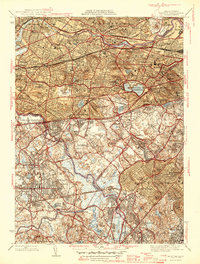
1946 Map of Newton
USGS Topo · Published 1946About this map
The Charles River winds through this densely developed landscape just after World War II, defining the boundaries between Middlesex, Norfolk, and Suffolk counties. In this era, the region is a complex web of established suburban villages and institutional anchors, from the Perkins Institution for the Blind in Watertown to the academic grounds of Boston College near the Chestnut Hill Reservoir. The map reveals the heavy footprint of transit and industry, with the Boston and Albany RR cutting through Newtonville and Auburndale, while the US Military Reservation occupies a prominent bend in the river.
Find a feature on this map
83 named features on this map. Tap any name to fly to it.
Don’t see what you’re looking for? This feature index may not catch every label — zoom into the map to look around manually.
Map Details
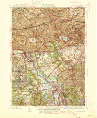
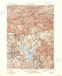
Editions of this 1946 Newton Map
3 editions found
Other maps of this area

1886 · Dedham
USGS Topo · 1:62,500

1886 · Framingham
USGS Topo · 1:62,500

1887 · Franklin
USGS Topo · 1:62,500

1889 · Franklin
USGS Topo · 1:62,500

1889 · Framingham
USGS Topo · 1:62,500

1893 · Franklin
USGS Topo · 1:62,500

1893 · Boston
USGS Topo · 1:62,500

1894 · Dedham
USGS Topo · 1:62,500

1894 · Framingham
USGS Topo · 1:62,500

1903 · Boston
USGS Topo · 1:62,500