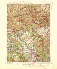
1946 Map of Newton
USGS Topo · Published 1946About this map
The Charles River winds through this mid-century landscape, acting as a natural boundary between the expanding suburbs of Newton and Watertown. This era shows a dense concentration of institutional and community landmarks, from the Chestnut Hill Reservoir and Boston College to the sprawling Arsenal (U S Military Reservation) in Watertown. The map captures the intricate transit network of the 1940s, including the Worcester Turnpike and the New York New Haven and Hartford railroad lines serving Needham Junction. Local genealogy and social history are well-represented by numerous burial grounds like Mt Auburn Cem and the Catholic Cem, alongside specific landmarks such as the Perkins Institution for the Blind and the Working Boys Home. This snapshot reveals a region defined by its prestigious educational campuses, athletic sites like Harvard Stadium, and the early development of Wellesley and Brookline.
Find a feature on this map
99 named features on this map. Tap any name to fly to it.
Don’t see what you’re looking for? This feature index may not catch every label — zoom into the map to look around manually.
Map Details
Editions of this 1946 Newton Map
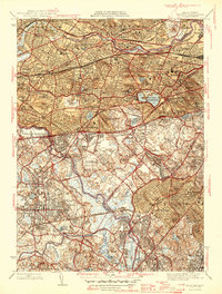
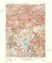
3 editions found
Other maps of this area

1886 · Dedham
USGS Topo · 1:62,500

1886 · Framingham
USGS Topo · 1:62,500

1887 · Franklin
USGS Topo · 1:62,500

1889 · Franklin
USGS Topo · 1:62,500

1889 · Framingham
USGS Topo · 1:62,500

1893 · Franklin
USGS Topo · 1:62,500

1893 · Boston
USGS Topo · 1:62,500

1894 · Dedham
USGS Topo · 1:62,500

1894 · Framingham
USGS Topo · 1:62,500

1903 · Boston
USGS Topo · 1:62,500