
1956 Map of Newton
USGS Topo · Published 1956About this map
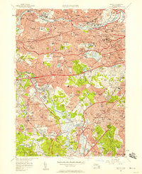
The Charles River winds through a densely developed landscape in the mid-1950s, anchoring the sprawling suburban and academic corridor between Waltham and Brookline. This era represents a peak for the region's commuter rail infrastructure, with the New York Central lines supporting a dense network of neighborhood stops like Newton Highlands Sta and Auburndale Sta. The map highlights the significant institutional presence in the area, from Harvard Stadium and St Johns Seminary to the campuses of Mt Ida Jr College and Lasell Jr College.
Find a feature on this map
219 named features on this map. Tap any name to fly to it.
Don’t see what you’re looking for? This feature index may not catch every label — zoom into the map to look around manually.
Map Details
Editions of this 1956 Newton Map
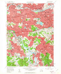
3 editions found
Other maps of this area

1886 · Dedham
USGS Topo · 1:62,500

1886 · Framingham
USGS Topo · 1:62,500

1887 · Franklin
USGS Topo · 1:62,500

1889 · Franklin
USGS Topo · 1:62,500

1889 · Framingham
USGS Topo · 1:62,500

1893 · Franklin
USGS Topo · 1:62,500

1893 · Boston
USGS Topo · 1:62,500

1894 · Dedham
USGS Topo · 1:62,500

1894 · Framingham
USGS Topo · 1:62,500

1903 · Boston
USGS Topo · 1:62,500