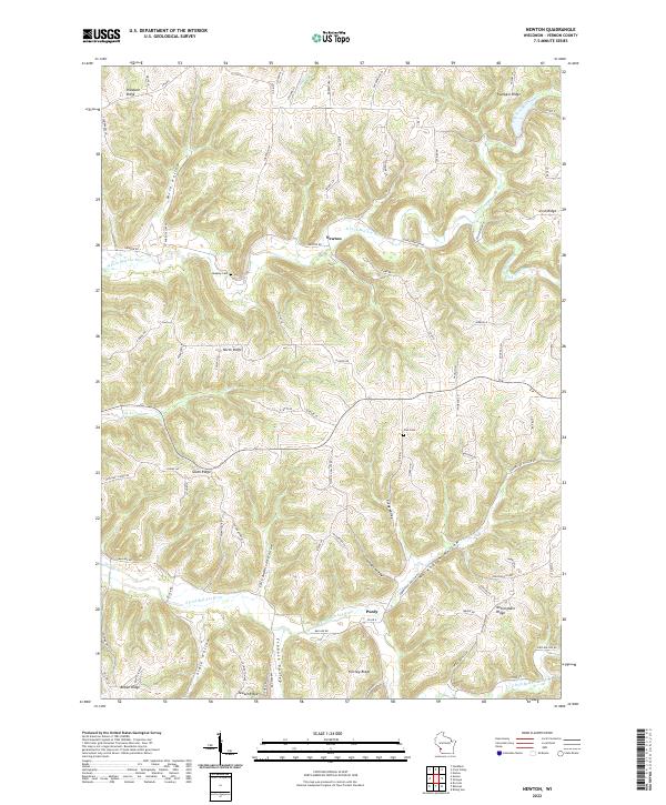
2022 Map of Newton
USGS Topo · Published 2022About this map
Newton and Purdy serve as the primary focal points of this topographic study, where the deeply dissected plateau of Vernon County is defined by a network of dendritic ridges and narrow valleys. The hydrology of the region is dominated by the forks of the N Fork Bad Axe River and the S Fork Bad Axe River, which carve through the landscape alongside tributaries like Cox Cr and the Springville Br Bad Axe River.
Find a feature on this map
88 named features on this map. Tap any name to fly to it.
Don’t see what you’re looking for? This feature index may not catch every label — zoom into the map to look around manually.
Map Details
Editions of this 2022 Newton Map
This is the sole edition of this map. No revisions or reprints were ever made.
Other maps of this area
1903 · Waukon
USGS Topo · 1:125,000
1923 · Viroqua
USGS Topo · 1:62,500
1924 · Gays Mills
USGS Topo · 1:62,500
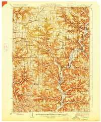
1926 · Gays Mills
USGS Topo · 1:62,500
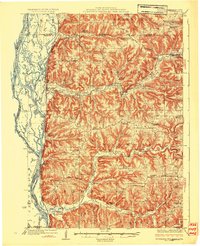
1926 · Stoddard
USGS Topo · 1:62,500
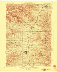
1926 · Viroqua
USGS Topo · 1:62,500
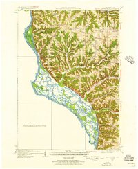
1929 · Ferryville
USGS Topo · 1:62,500
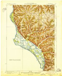
1932 · Ferryville
USGS Topo · 1:62,500

1958 · La Crosse
USGS Topo · 1:250,000

1961 · La Crosse
USGS Topo · 1:250,000