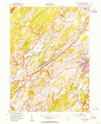
1954 Map of Newton West
USGS Topo · Published 1955About this map
Swartswood Lake and the winding course of the Paulins Kill define this pocket of Sussex County during the mid-1950s. The landscape is a mix of agricultural tracts and growing residential pockets, with the town of Newton serving as a significant local hub. Educational and religious institutions are prominent landmarks, including Don Bosco College, St Josephs Coll, and St Pauls Abbey.
Find a feature on this map
52 named features on this map. Tap any name to fly to it.
Don’t see what you’re looking for? This feature index may not catch every label — zoom into the map to look around manually.
Map Details
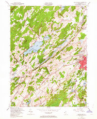
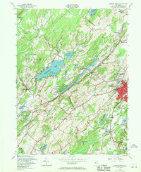
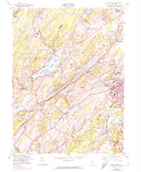
Editions of this 1954 Newton West Map
4 editions found
Other maps of this area

1888 · Franklin
USGS Topo · 1:62,500

1888 · Hackettstown
USGS Topo · 1:62,500

1888 · Lake Hopatcong
USGS Topo · 1:62,500

1891 · Wallpack
USGS Topo · 1:62,500

1893 · Wallpack
USGS Topo · 1:62,500

1894 · Hackettstown
USGS Topo · 1:62,500

1894 · Lake Hopatcong
USGS Topo · 1:62,500

1894 · Franklin
USGS Topo · 1:62,500

1897 · Franklin
USGS Topo · 1:62,500

1898 · Lake Hopatcong
USGS Topo · 1:62,500