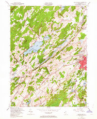
1954 Map of Newton West
USGS Topo · Published 1963About this map
Newton serves as the regional hub of activity on this Sussex County landscape, where the urban street grid meets a countryside defined by the narrow corridors of the Paulins Kill and the Pequest River. The mid-century character of the area is shaped by a mix of educational and religious institutions, such as Don Bosco College and St Pauls Abbey, alongside civic landmarks like the County Farm and Memorial Hospital.
Find a feature on this map
48 named features on this map. Tap any name to fly to it.
Don’t see what you’re looking for? This feature index may not catch every label — zoom into the map to look around manually.
Map Details
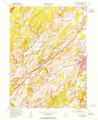
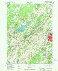
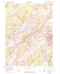
Editions of this 1954 Newton West Map
4 editions found
Other maps of this area

1888 · Franklin
USGS Topo · 1:62,500

1888 · Hackettstown
USGS Topo · 1:62,500

1888 · Lake Hopatcong
USGS Topo · 1:62,500

1891 · Wallpack
USGS Topo · 1:62,500

1893 · Wallpack
USGS Topo · 1:62,500

1894 · Hackettstown
USGS Topo · 1:62,500

1894 · Lake Hopatcong
USGS Topo · 1:62,500

1894 · Franklin
USGS Topo · 1:62,500

1897 · Franklin
USGS Topo · 1:62,500

1898 · Lake Hopatcong
USGS Topo · 1:62,500