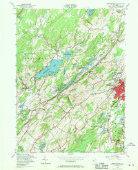
1954 Map of Newton West
USGS Topo · Published 1970About this map
The town of Newton anchors this mid-century landscape, appearing as a developed center with its Newton Town Boundary and Memorial Hospital. To the west, the New York Susquehanna and Western railroad tracks cut through the countryside, supporting rural outposts like Swartswood Sta and Stillwater Sta. This transport corridor follows the natural valley of the Paulins Kill, which remains a dominant hydrological feature alongside Swartswood Lake.
Find a feature on this map
55 named features on this map. Tap any name to fly to it.
Don’t see what you’re looking for? This feature index may not catch every label — zoom into the map to look around manually.
Map Details
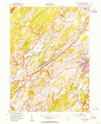
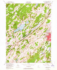
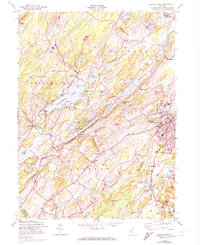
Editions of this 1954 Newton West Map
4 editions found
Other maps of this area

1888 · Franklin
USGS Topo · 1:62,500

1888 · Hackettstown
USGS Topo · 1:62,500

1888 · Lake Hopatcong
USGS Topo · 1:62,500

1891 · Wallpack
USGS Topo · 1:62,500

1893 · Wallpack
USGS Topo · 1:62,500

1894 · Hackettstown
USGS Topo · 1:62,500

1894 · Lake Hopatcong
USGS Topo · 1:62,500

1894 · Franklin
USGS Topo · 1:62,500

1897 · Franklin
USGS Topo · 1:62,500

1898 · Lake Hopatcong
USGS Topo · 1:62,500