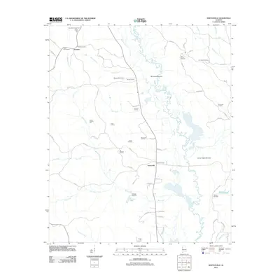
2011 Map of Newtonville
USGS Topo · Published 2011About this map
The Sipsey River meanders through this portion of Fayette County, defining a landscape of narrow ridges and creek bottoms. The settlements of Newtonville and Jerusalem serve as local hubs, connected by a network of rural roads that follow the topography of high points like Goat Hill and Savage Mountain. This survey reveals a landscape where traditional land use and modern extraction coexist, as seen in the Blakely Creek Oil Field and the Newtonville Gas Field. Family and community history is deeply rooted here, evidenced by the high density of burial grounds including Old Shepherd Cemetery, New Canaan Cemetery, and Brotherton Cemetery. Resource management is visible in the presence of the Cains Ridge Lookout Tower overlooking the forested terrain, while localized water control is established at Freeman Lake and Mitchum Lake, both featuring early 21st-century dam infrastructure.
Find a feature on this map
69 named features on this map. Tap any name to fly to it.
Don’t see what you’re looking for? This feature index may not catch every label — zoom into the map to look around manually.
Map Details
Editions of this 2011 Newtonville Map
This is the sole edition of this map. No revisions or reprints were ever made.
Other maps of this area

1926 · Samantha
USGS Topo · 1:48,000

1928 · Samantha
USGS Topo · 1:62,500

1953 · Birmingham
USGS Topo · 1:250,000

1956 · Birmingham
USGS Topo · 1:250,000

1957 · Birmingham
USGS Topo · 1:250,000

1967 · Brownville
USGS Topo · 1:24,000

1967 · Bankston
USGS Topo · 1:24,000

1967 · Newtonville
USGS Topo · 1:24,000

1967 · Kennedy
USGS Topo · 1:24,000

1967 · Fayette
USGS Topo · 1:24,000