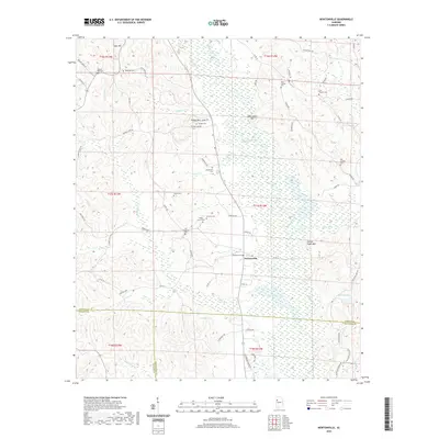
2020 Map of Newtonville
USGS Topo · Published 2020About this map
Newtonville sits at the heart of this landscape where the borders of Fayette, Pickens, and Tuscaloosa counties converge. The winding course of the Sipsey River bisects the terrain, flanked by significant elevations such as Savage Mtn and Gurley Hughs Mtn. The map reveals a deeply rooted community structure, evidenced by the high density of family and church burial grounds that dot the countryside, including Pilgrim Rest Cem, Gravlee Cem, and the Old Shepherd Cem.
Find a feature on this map
74 named features on this map. Tap any name to fly to it.
Don’t see what you’re looking for? This feature index may not catch every label — zoom into the map to look around manually.
Map Details
Editions of this 2020 Newtonville Map
This is the sole edition of this map. No revisions or reprints were ever made.
Other maps of this area

1926 · Samantha
USGS Topo · 1:48,000

1928 · Samantha
USGS Topo · 1:62,500

1953 · Birmingham
USGS Topo · 1:250,000

1956 · Birmingham
USGS Topo · 1:250,000

1957 · Birmingham
USGS Topo · 1:250,000

1967 · Brownville
USGS Topo · 1:24,000

1967 · Bankston
USGS Topo · 1:24,000

1967 · Newtonville
USGS Topo · 1:24,000

1967 · Kennedy
USGS Topo · 1:24,000

1967 · Fayette
USGS Topo · 1:24,000