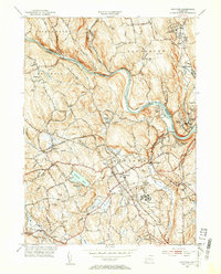
1953 Map of Newtown
USGS Topo · Published 1955About this map
Fairfield State Hospital and the Southbury Training Sch stand as prominent institutional landmarks in this mid-century portrait of the Fairfield and New Haven county borders. The landscape is defined by the winding course of the Housatonic River, where it meets the Shepaug River and Pootatuck River. The transportation network of the early 1950s is anchored by the New York New Haven and Hartford railroad, which services established settlements like Hawleyville and Sandy Hook. Local history is preserved through numerous burial grounds, including Lands End Cem and Saint Rose Cem. The topography transitions from the waters of Taunton Pond to the heights of Obtuse Hill and Great Hill, reflecting a period of steady suburban and institutional growth before the massive expansion of the modern interstate system changed the character of these Connecticut hills.
Find a feature on this map
48 named features on this map. Tap any name to fly to it.
Don’t see what you’re looking for? This feature index may not catch every label — zoom into the map to look around manually.
Map Details
Editions of this 1953 Newtown Map
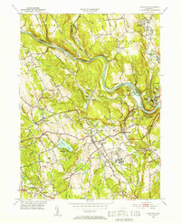
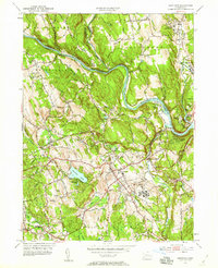
3 editions found
Other maps of this area

1889 · Derby
USGS Topo · 1:62,500

1891 · Derby
USGS Topo · 1:62,500

1892 · Danbury
USGS Topo · 1:62,500

1892 · New Milford
USGS Topo · 1:62,500

1893 · Waterbury
USGS Topo · 1:62,500

1893 · New Milford
USGS Topo · 1:62,500

1893 · Derby
USGS Topo · 1:62,500

1904 · New Milford
USGS Topo · 1:62,500

1904 · Waterbury
USGS Topo · 1:62,500

1904 · Litchfield
USGS Topo · 1:125,000