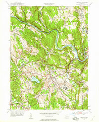
1953 Map of Newtown
USGS Topo · Published 1959About this map
Housatonic River curves through this mid-century landscape where Fairfield, Litchfield, and New Haven counties meet. The rail corridor of the New York New Haven and Hartford railroad connects the village of Newtown with the growing outlying settlements of Hawleyville and Sandy Hook. The map illustrates a transitional period in Western Connecticut, as agricultural hillsides like Taunton Hill and Sunset Hill exist alongside large-scale institutional developments, most notably the expansive grounds of the Fairfield State Hospital and the Southbury Training Sch. Numerous small cemeteries, such as Newton Cem and Pierce Hollow Cem, are documented alongside community anchors like Saint Rose church. The topography is defined by the convergence of the Shepaug River and Pomperaug River into the Housatonic, carving a path through terrain marked by landmarks like Obtuse Hill and Great Hill.
Find a feature on this map
51 named features on this map. Tap any name to fly to it.
Don’t see what you’re looking for? This feature index may not catch every label — zoom into the map to look around manually.
Map Details
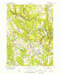
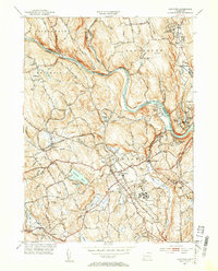
Editions of this 1953 Newtown Map
3 editions found
Other maps of this area

1889 · Derby
USGS Topo · 1:62,500

1891 · Derby
USGS Topo · 1:62,500

1892 · Danbury
USGS Topo · 1:62,500

1892 · New Milford
USGS Topo · 1:62,500

1893 · Waterbury
USGS Topo · 1:62,500

1893 · New Milford
USGS Topo · 1:62,500

1893 · Derby
USGS Topo · 1:62,500

1904 · New Milford
USGS Topo · 1:62,500

1904 · Waterbury
USGS Topo · 1:62,500

1904 · Litchfield
USGS Topo · 1:125,000