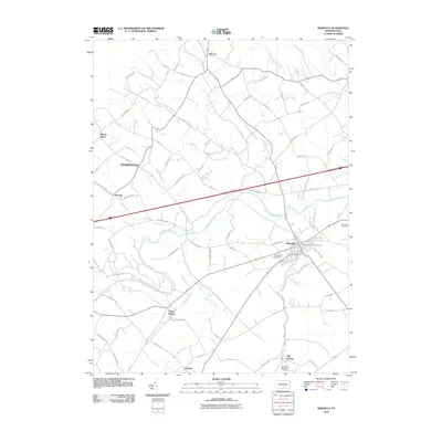
2010 Map of Newville
USGS Topo · Published 2010About this map
Newville serves as the primary hub of this 2010 landscape, where the waters of Big Spring Creek and Conodoguinet Creek meet amidst a network of regional roads. The settlement patterns reflect a blend of historic town centers and rural crossroads, with the John Graham Memorial Cemetery and Newville Cemetery providing vital touchpoints for genealogical research. To the north, the terrain transitions toward the slopes of the mountains, drained by waterways such as Doubling Gap Creek and Rock Run.
Find a feature on this map
72 named features on this map. Tap any name to fly to it.
Don’t see what you’re looking for? This feature index may not catch every label — zoom into the map to look around manually.
Map Details
Editions of this 2010 Newville Map
This is the sole edition of this map. No revisions or reprints were ever made.
Other maps of this area

1919 · Newville
USGS Topo · 1:62,500

1919 · Mattawana
USGS Topo · 1:62,500

1923 · Shippensburg
USGS Topo · 1:62,500

1930 · Loysville
USGS Topo · 1:62,500

1933 · Loysville
USGS Topo · 1:62,500

1936 · East Waterford
USGS Topo · 1:48,000

1941 · East Waterford
USGS Topo · 1:62,500

1943 · Shippensburg
USGS Topo · 1:62,500

1945 · Newville
USGS Topo · 1:62,500

1945 · Shippensburg
USGS Topo · 1:62,500
Featured Places
- West Pennsboro Township, PA
- Jackson Township, PA
- North Newton Township, PA
- McCrea, Lower Mifflin Township
- Heberlig, Upper Mifflin Township