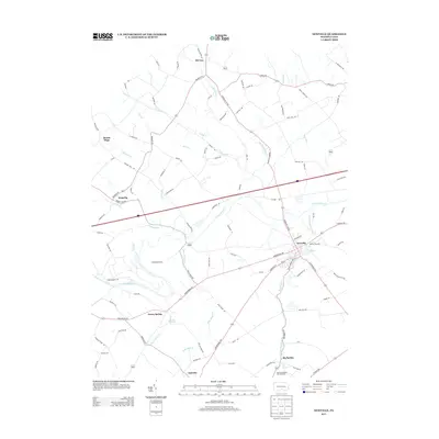
2013 Map of Newville
USGS Topo · Published 2013About this map
Newville serves as the primary hub in this Cumberland County landscape, where the waters of Conodoguinet Cr wind through a patchwork of agricultural lands and rural settlements. The area is defined by its significant hydrography, notably the Big Spring Cr system which supports the Big Spring State Fish Hatchery in the southern portion of the quadrangle. Small communities like McCrea, Heberlig, and Oakville are connected by a network of historic routes such as Enola Rd and Roxbury Rd.
Find a feature on this map
92 named features on this map. Tap any name to fly to it.
Don’t see what you’re looking for? This feature index may not catch every label — zoom into the map to look around manually.
Map Details
Editions of this 2013 Newville Map
This is the sole edition of this map. No revisions or reprints were ever made.
Other maps of this area

1919 · Newville
USGS Topo · 1:62,500

1919 · Mattawana
USGS Topo · 1:62,500

1923 · Shippensburg
USGS Topo · 1:62,500

1930 · Loysville
USGS Topo · 1:62,500

1933 · Loysville
USGS Topo · 1:62,500

1936 · East Waterford
USGS Topo · 1:48,000

1941 · East Waterford
USGS Topo · 1:62,500

1943 · Shippensburg
USGS Topo · 1:62,500

1945 · Newville
USGS Topo · 1:62,500

1945 · Shippensburg
USGS Topo · 1:62,500
Featured Places
- West Pennsboro Township, PA
- Jackson Township, PA
- North Newton Township, PA
- McCrea, Lower Mifflin Township
- Heberlig, Upper Mifflin Township