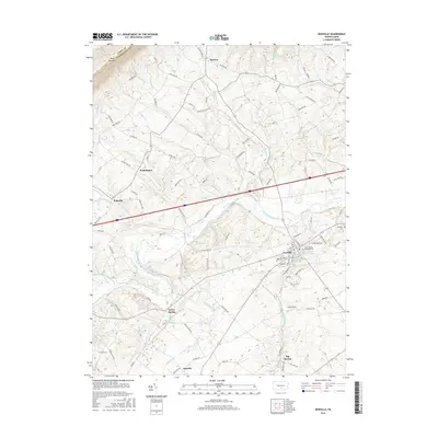
2016 Map of Newville
USGS Topo · Published 2016About this map
Blue Mountain forms the northern boundary of this Cumberland County landscape, where the ridge line marks the border with Perry County. Below the heights, a network of small settlements including McCrea, Washington, and Heberlig dot the base of the slope, connected by a dense web of local routes like Whiskey Run Rd and Brick Church Rd. The terrain is defined by the winding course of Conodoguinet Creek, which creates a wide valley of fertile land that has historically supported the borough of Newville.
Find a feature on this map
98 named features on this map. Tap any name to fly to it.
Don’t see what you’re looking for? This feature index may not catch every label — zoom into the map to look around manually.
Map Details
Editions of this 2016 Newville Map
This is the sole edition of this map. No revisions or reprints were ever made.
Other maps of this area

1919 · Newville
USGS Topo · 1:62,500

1919 · Mattawana
USGS Topo · 1:62,500

1923 · Shippensburg
USGS Topo · 1:62,500

1930 · Loysville
USGS Topo · 1:62,500

1933 · Loysville
USGS Topo · 1:62,500

1936 · East Waterford
USGS Topo · 1:48,000

1941 · East Waterford
USGS Topo · 1:62,500

1943 · Shippensburg
USGS Topo · 1:62,500

1945 · Newville
USGS Topo · 1:62,500

1945 · Shippensburg
USGS Topo · 1:62,500
Featured Places
- West Pennsboro Township, PA
- Jackson Township, PA
- North Newton Township, PA
- McCrea, Lower Mifflin Township
- Heberlig, Upper Mifflin Township