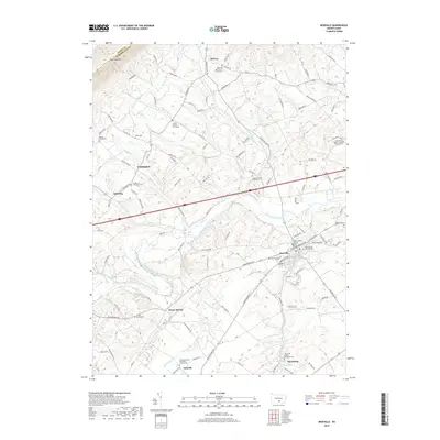
2019 Map of Newville
USGS Topo · Published 2019About this map
Conodoguinet Creek meanders through the central valley of this Cumberland County landscape, acting as a geographic anchor for the borough of Newville and several surrounding rural settlements. The terrain transitions from the steep southern slopes of Blue Mountain in the north toward the agricultural plains around Oakville and Big Spring. This 2019 survey documents a dense concentration of early burial sites and houses of worship, such as the John Graham Memorial Cem and Zion Lutheran Church, which reflect the deep-rooted community history of the Big Spring area.
Find a feature on this map
121 named features on this map. Tap any name to fly to it.
Don’t see what you’re looking for? This feature index may not catch every label — zoom into the map to look around manually.
Map Details
Editions of this 2019 Newville Map
This is the sole edition of this map. No revisions or reprints were ever made.
Other maps of this area

1919 · Newville
USGS Topo · 1:62,500

1919 · Mattawana
USGS Topo · 1:62,500

1923 · Shippensburg
USGS Topo · 1:62,500

1930 · Loysville
USGS Topo · 1:62,500

1933 · Loysville
USGS Topo · 1:62,500

1936 · East Waterford
USGS Topo · 1:48,000

1941 · East Waterford
USGS Topo · 1:62,500

1943 · Shippensburg
USGS Topo · 1:62,500

1945 · Newville
USGS Topo · 1:62,500

1945 · Shippensburg
USGS Topo · 1:62,500
Featured Places
- West Pennsboro Township, PA
- Jackson Township, PA
- North Newton Township, PA
- McCrea, Lower Mifflin Township
- Heberlig, Upper Mifflin Township