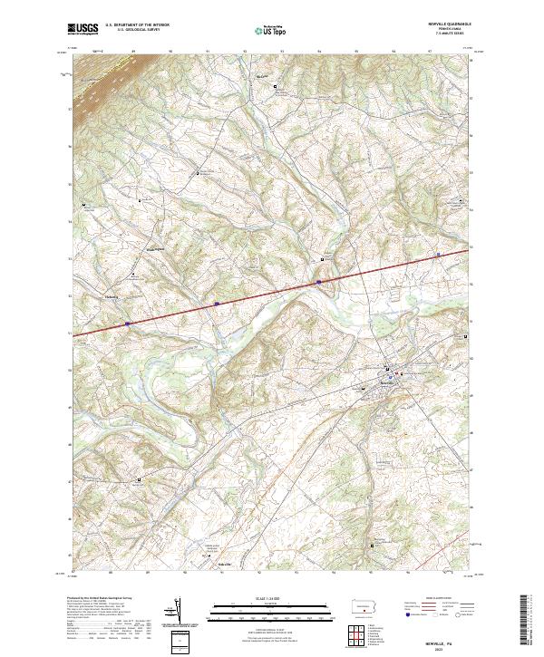
2023 Map of Newville
USGS Topo · Published 2023About this map
Newville serves as the primary hub in this Cumberland County landscape, where the waters of Conodoguinet Creek wind through a valley defined by agricultural tradition and long-standing religious institutions. The map documents numerous community centers such as Oakville, Washington, and Heberlig, each anchored by historical burial grounds and congregations. Notable sites include the John Graham Memorial Cem and the Zion Lutheran Church near the town center, while more remote locations like McCrea sit at the foot of Blue Mountain.
Find a feature on this map
123 named features on this map. Tap any name to fly to it.
Don’t see what you’re looking for? This feature index may not catch every label — zoom into the map to look around manually.
Map Details
Editions of this 2023 Newville Map
This is the sole edition of this map. No revisions or reprints were ever made.
Other maps of this area

1919 · Newville
USGS Topo · 1:62,500

1919 · Mattawana
USGS Topo · 1:62,500

1923 · Shippensburg
USGS Topo · 1:62,500

1930 · Loysville
USGS Topo · 1:62,500

1933 · Loysville
USGS Topo · 1:62,500

1936 · East Waterford
USGS Topo · 1:48,000

1941 · East Waterford
USGS Topo · 1:62,500

1943 · Shippensburg
USGS Topo · 1:62,500

1945 · Newville
USGS Topo · 1:62,500

1945 · Shippensburg
USGS Topo · 1:62,500
Featured Places
- West Pennsboro Township, PA
- Jackson Township, PA
- North Newton Township, PA
- Lower Mifflin Township, PA
- Upper Frankford Township, PA