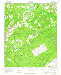
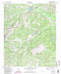
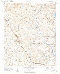
1957 Map of Niagara
USGS Topo · Published 1965About this map
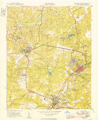
The Seaboard Air Line corridor defines the development of this Moore County landscape, connecting the settlements of Lakeview, Vass, and Niagara. In the late 1950s, the area reflects a transition from rural community life to military utility. Educational and spiritual anchors like the Old Notre Dame Academy and New Home Ch stand in proximity to the expanding northern boundary of the Fort Bragg Military Reservation. The terrain is characterized by numerous small lakes and creeks, including Crystal Lake and Lake Bay near Hog Island, which feed into the wider Little River system.
Find a feature on this map
34 named features on this map. Tap any name to fly to it.
Don’t see what you’re looking for? This feature index may not catch every label — zoom into the map to look around manually.
Map Details
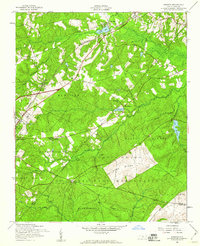
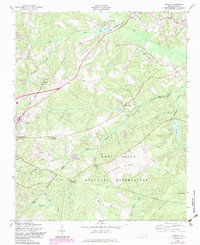
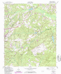
Editions of this 1957 Niagara Map
5 editions found
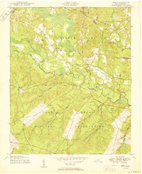
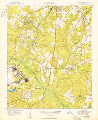
Other maps of this area

1948 · Southern Pines
USGS Topo · 1:62,500

1948 · Clifdale
USGS Topo · 1:62,500
1948 · Pinebluff
USGS Topo · 1:24,000
1948 · Nicholson Creek
USGS Topo · 1:24,000
1948 · Mc Cain
USGS Topo · 1:24,000
1950 · Sanatorium
USGS Topo · 1:24,000
1950 · Lobelia
USGS Topo · 1:24,000
1950 · Pine Bluff
USGS Topo · 1:24,000
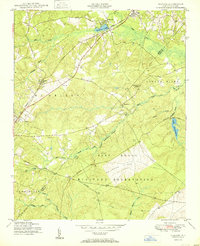
1950 · Niagara
USGS Topo · 1:24,000
1950 · Southern Pines
USGS Topo · 1:24,000