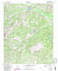
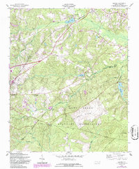
1957 Map of Niagara
USGS Topo · Published 1998About this map
Southern Pines serves as a primary hub of activity in this Moore County landscape, where the Seaboard railroad line dictates the layout of regional settlements. Moving north along the tracks, the smaller communities of Manly, Niagara, and Skyline illustrate the historical reliance on rail infrastructure for transport and trade. The northern portion of the map is defined by the waters of Crystal Lake and the community of Lakeview, while the southern half is largely occupied by the wooded expanses of the Fort Bragg Military Reservation.
Find a feature on this map
34 named features on this map. Tap any name to fly to it.
Don’t see what you’re looking for? This feature index may not catch every label — zoom into the map to look around manually.
Map Details
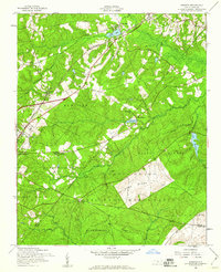
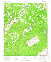
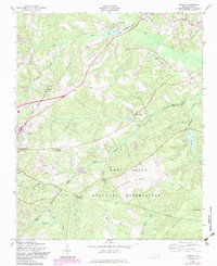
Editions of this 1957 Niagara Map
5 editions found
Other maps of this area

1948 · Southern Pines
USGS Topo · 1:62,500

1948 · Clifdale
USGS Topo · 1:62,500

1948 · Pinebluff
USGS Topo · 1:24,000

1948 · Nicholson Creek
USGS Topo · 1:24,000

1948 · Mc Cain
USGS Topo · 1:24,000

1950 · Sanatorium
USGS Topo · 1:24,000

1950 · Lobelia
USGS Topo · 1:24,000

1950 · Pine Bluff
USGS Topo · 1:24,000

1950 · Niagara
USGS Topo · 1:24,000

1950 · Southern Pines
USGS Topo · 1:24,000