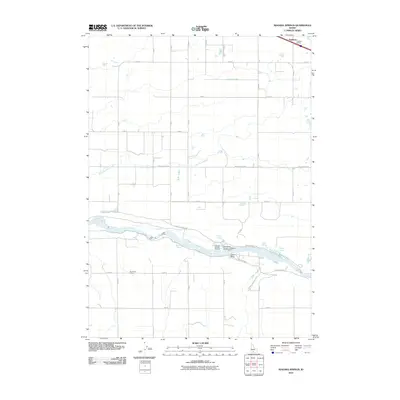
2010 Map of Niagara Springs
USGS Topo · Published 2010About this map
The Snake River carves a deep path through the basalt-lined terrain of southern Idaho, creating a dramatic corridor where groundwater emerges as major springs. Near the center of the quadrangle, Niagara Springs and Crystal Springs discharge significant volumes of water from the canyon walls, supporting intensive aquaculture facilities including the Niagara Springs Hatchery and the Idaho Power Company Steelhead Trout Hatchery. These sites represent the critical intersection of natural geology and industrial resource management along the river's edge.
Find a feature on this map
22 named features on this map. Tap any name to fly to it.
Don’t see what you’re looking for? This feature index may not catch every label — zoom into the map to look around manually.
Map Details
Editions of this 2010 Niagara Springs Map
This is the sole edition of this map. No revisions or reprints were ever made.
Other maps of this area

1949 · Thousand Springs
USGS Topo · 1:24,000

1949 · Tuttle
USGS Topo · 1:24,000

1950 · Niagara Springs
USGS Topo · 1:24,000

1950 · Filer
USGS Topo · 1:24,000

1950 · Jerome
USGS Topo · 1:24,000

1950 · Jerome
USGS Topo · 1:62,500

1951 · Thousand Springs
USGS Topo · 1:24,000

1951 · Tuttle
USGS Topo · 1:24,000

1951 · Clover
USGS Topo · 1:24,000

1954 · Thousand Springs
USGS Topo · 1:24,000