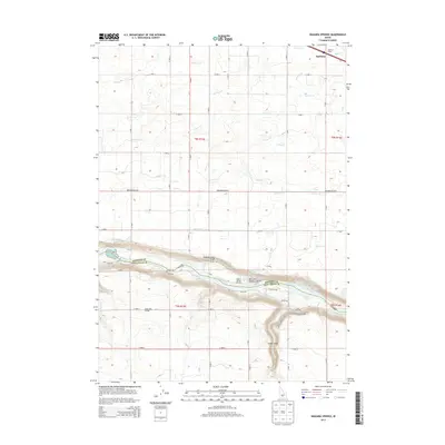
2013 Map of Niagara Springs
USGS Topo · Published 2013About this map
The Snake River carves a deep canyon through the volcanic plain of the Magic Valley, defining the boundary between Gooding Co and Twin Falls Co. This 2013 survey illustrates the complex hydraulic network of the region, where numerous man-made channels like Lateral S-22 and Lateral J-8 distribute water across the agricultural uplands. The canyon walls themselves are home to significant aquaculture and natural features, including Niagara Springs and Crystal Springs, which feed large-scale operations like the Niagara Springs Hatchery and the Idaho Power Company Steelhead Trout Hatchery. In the north, the small settlement of Appleton and the Appleton Siding reflect the area's rail-and-road transportation history, anchored by the Bob Barton Hwy. Farther south, the rural social landscape is marked by the Northview Grange and the steep descent of the Niagara Springs Grade into the river gorge.
Find a feature on this map
33 named features on this map. Tap any name to fly to it.
Don’t see what you’re looking for? This feature index may not catch every label — zoom into the map to look around manually.
Map Details
Editions of this 2013 Niagara Springs Map
This is the sole edition of this map. No revisions or reprints were ever made.
Other maps of this area

1949 · Thousand Springs
USGS Topo · 1:24,000

1949 · Tuttle
USGS Topo · 1:24,000

1950 · Niagara Springs
USGS Topo · 1:24,000

1950 · Filer
USGS Topo · 1:24,000

1950 · Jerome
USGS Topo · 1:24,000

1950 · Jerome
USGS Topo · 1:62,500

1951 · Thousand Springs
USGS Topo · 1:24,000

1951 · Tuttle
USGS Topo · 1:24,000

1951 · Clover
USGS Topo · 1:24,000

1954 · Thousand Springs
USGS Topo · 1:24,000