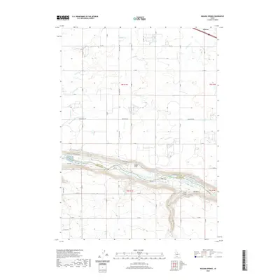
2020 Map of Niagara Springs
USGS Topo · Published 2020About this map
The Snake River carves a deep canyon through this high desert agricultural landscape, forming the boundary between Gooding and Twin Falls counties. The dramatic elevation change is navigated by steep access routes like the Niagara Springs Grade and Crystal Springs Grade, which lead down to the riverbank. This 2020 survey illustrates a complex irrigation infrastructure essential to regional farming, characterized by an extensive network of laterals such as Lateral S-10, Lateral W-9, and the S Canal. While the northern plateau is organized by a rigid grid of rural roads and the Appleton settlement near the Interstate, the canyon floor remains a pocket of hydrologic activity where Niagara Springs and Crystal Springs emerge. The presence of Cedar Draw and numerous named canal branches highlights the sophisticated water management required to sustain the surrounding acreage.
Find a feature on this map
52 named features on this map. Tap any name to fly to it.
Don’t see what you’re looking for? This feature index may not catch every label — zoom into the map to look around manually.
Map Details
Editions of this 2020 Niagara Springs Map
This is the sole edition of this map. No revisions or reprints were ever made.
Other maps of this area

1949 · Thousand Springs
USGS Topo · 1:24,000

1949 · Tuttle
USGS Topo · 1:24,000

1950 · Niagara Springs
USGS Topo · 1:24,000

1950 · Filer
USGS Topo · 1:24,000

1950 · Jerome
USGS Topo · 1:24,000

1950 · Jerome
USGS Topo · 1:62,500

1951 · Thousand Springs
USGS Topo · 1:24,000

1951 · Tuttle
USGS Topo · 1:24,000

1951 · Clover
USGS Topo · 1:24,000

1954 · Thousand Springs
USGS Topo · 1:24,000