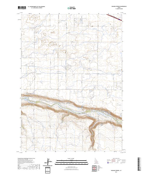
2023 Map of Niagara Springs
USGS Topo · Published 2023About this map
The Snake River carves a dramatic canyon across this landscape, serving as the boundary between Gooding and Twin Falls counties. The deep gorge is characterized by steep descents like the Clear Lake Grade, Niagara Springs Grade, and Crystal Springs Grade, which connect the elevated plateau to the riverbanks. Along the northern bank, the Niagara Springs and Crystal Springs emerge from the canyon walls, feeding into the Snake River and supporting the Magic Valley National Fish Hatchery.
Find a feature on this map
38 named features on this map. Tap any name to fly to it.
Don’t see what you’re looking for? This feature index may not catch every label — zoom into the map to look around manually.
Map Details
Editions of this 2023 Niagara Springs Map
This is the sole edition of this map. No revisions or reprints were ever made.
Other maps of this area

1949 · Thousand Springs
USGS Topo · 1:24,000

1949 · Tuttle
USGS Topo · 1:24,000

1950 · Niagara Springs
USGS Topo · 1:24,000

1950 · Filer
USGS Topo · 1:24,000

1950 · Jerome
USGS Topo · 1:24,000

1950 · Jerome
USGS Topo · 1:62,500

1951 · Thousand Springs
USGS Topo · 1:24,000

1951 · Tuttle
USGS Topo · 1:24,000

1951 · Clover
USGS Topo · 1:24,000

1954 · Thousand Springs
USGS Topo · 1:24,000