
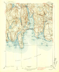
1938 Map of Niantic
USGS Topo · Published 1938About this map
The Niantic River and its expansive bay define this 1930s coastal landscape, where the New York New Haven and Hartford railroad cuts a vital path across the marshy shoreline. This era shows a transition from traditional rural hamlets like Flanders and East Lyme toward a seasonal coastal economy, evidenced by the proliferation of waterfront communities such as Crescent Beach, Attawan Beach, and the Black Point Beach Club.
Find a feature on this map
104 named features on this map. Tap any name to fly to it.
Don’t see what you’re looking for? This feature index may not catch every label — zoom into the map to look around manually.
Map Details
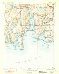
Editions of this 1938 Niantic Map
3 editions found
Other maps of this area

1892 · New London
USGS Topo · 1:62,500

1893 · New London
USGS Topo · 1:62,500

1893 · Saybrook
USGS Topo · 1:62,500

1903 · Gardiners Island
USGS Topo · 1:62,500

1904 · Gardiners Island
USGS Topo · 1:62,500

1921 · Gardiners Island
USGS Topo · 1:62,500

1921 · New London
USGS Topo · 1:62,500

1934 · Niantic
USGS Topo · 1:24,000

1935 · Montville
USGS Topo · 1:24,000

1938 · New London
USGS Topo · 1:31,680