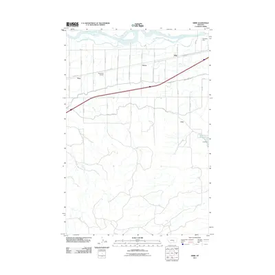
2011 Map of Nibbe
USGS Topo · Published 2011About this map
The Yellowstone River corridor in Yellowstone County defines this landscape, where the northern plains meet an intricate network of irrigation infrastructure. Small settlements like Nibbe, Mann, and Newton are positioned along the rail and road corridors that follow the river valley, reflecting the area's agricultural development. The engineering of the land is evident in the extensive canal systems, including the Huntley Main Canal and Highline Canal, which draw water into the drier surrounding terrain. To the east, the historic landmark of Pompeys Pillar stands near the river, while the Anita Reservoir and Anita Dam serve the southern reaches of the quadrangle. A system of section-line roads, many named for their grid coordinates like S 27th Rd, provides a clear view of the rural settlement patterns established a century prior. The presence of Gravel Pit Coulee and localized Gravel Pit operations highlight the extraction of materials from the alluvial landscape.
Find a feature on this map
47 named features on this map. Tap any name to fly to it.
Don’t see what you’re looking for? This feature index may not catch every label — zoom into the map to look around manually.
Map Details
Editions of this 2011 Nibbe Map
This is the sole edition of this map. No revisions or reprints were ever made.
Other maps of this area

1893 · Huntley
USGS Topo · 1:125,000

1894 · Fort Custer
USGS Topo · 1:125,000

1954 · Billings
USGS Topo · 1:250,000

1954 · Hardin
USGS Topo · 1:250,000

1954 · Forsyth
USGS Topo · 1:250,000

1954 · Roundup
USGS Topo · 1:250,000

1957 · Hardin
USGS Topo · 1:250,000

1957 · Forsyth
USGS Topo · 1:250,000

1957 · Billings
USGS Topo · 1:250,000

1958 · Billings
USGS Topo · 1:250,000