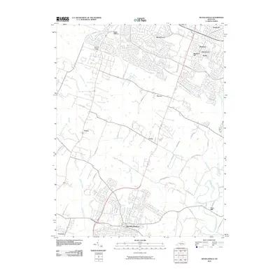
2010 Map of Nicholasville
USGS Topo · Published 2010About this map
Nicholasville sits at the heart of this 2010 landscape, showing the transition from a traditional Kentucky town to a more modern suburban pattern. The northern reaches of the map reflect significant residential growth in areas like South Elkhorn, Monticello, and Brigadoon, while the southern and western portions retain a network of rural roads and family-named landmarks. The terrain is defined by its hydrology, with drainage systems such as Jessamine Creek and Hickman Creek carving through the countryside.
Find a feature on this map
50 named features on this map. Tap any name to fly to it.
Don’t see what you’re looking for? This feature index may not catch every label — zoom into the map to look around manually.
Map Details
Editions of this 2010 Nicholasville Map
This is the sole edition of this map. No revisions or reprints were ever made.
Other maps of this area

1892 · Richmond
USGS Topo · 1:125,000

1897 · Richmond
USGS Topo · 1:125,000

1905 · Harrodsburg
USGS Topo · 1:125,000

1906 · Georgetown
USGS Topo · 1:62,500

1908 · Georgetown
USGS Topo · 1:62,500

1927 · Lexington
USGS Topo · 1:48,000

1929 · Lexington
USGS Topo · 1:62,500

1950 · Lexington East
USGS Topo · 1:24,000

1950 · Lexington West
USGS Topo · 1:24,000

1952 · Keene
USGS Topo · 1:24,000