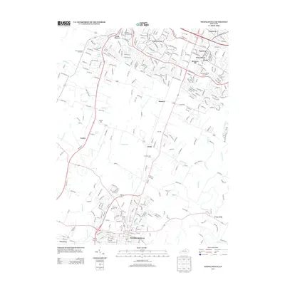
2013 Map of Nicholasville
USGS Topo · Published 2013About this map
Nicholasville serves as the central hub for this portion of the Bluegrass region, where the street grid begins to give way to the pastoral landscapes of Jessamine and Fayette counties. The southern reaches of the Lexington metro area are visible in developments like Monticello and South Elkhorn, highlighting the suburban expansion that characterizes the early 21st century. This era of land use is further evidenced by leisure and agricultural landmarks, including the Connemara Golf Course and the Equestrian Woods Horse Farm.
Find a feature on this map
46 named features on this map. Tap any name to fly to it.
Don’t see what you’re looking for? This feature index may not catch every label — zoom into the map to look around manually.
Map Details
Editions of this 2013 Nicholasville Map
This is the sole edition of this map. No revisions or reprints were ever made.
Other maps of this area

1892 · Richmond
USGS Topo · 1:125,000

1897 · Richmond
USGS Topo · 1:125,000

1905 · Harrodsburg
USGS Topo · 1:125,000

1906 · Georgetown
USGS Topo · 1:62,500

1908 · Georgetown
USGS Topo · 1:62,500

1927 · Lexington
USGS Topo · 1:48,000

1929 · Lexington
USGS Topo · 1:62,500

1950 · Lexington East
USGS Topo · 1:24,000

1950 · Lexington West
USGS Topo · 1:24,000

1952 · Keene
USGS Topo · 1:24,000