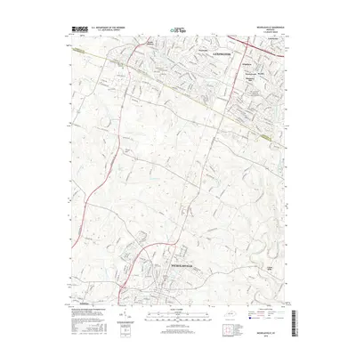
2016 Map of Nicholasville
USGS Topo · Published 2016About this map
Nicholasville and the southern reaches of Lexington anchor this survey of the Bluegrass region, showing a landscape defined by its creek networks and growing residential developments. The area between these two centers is drained by Jessamine Creek and its tributaries, with prominent landmarks such as Catnip Hill and Cogars Spring punctuating the undulating terrain. A clear historical boundary is visible where Fayette County meets Jessamine County, tracing a path near the waters of South Elkhorn Creek.
Find a feature on this map
240 named features on this map. Tap any name to fly to it.
Don’t see what you’re looking for? This feature index may not catch every label — zoom into the map to look around manually.
Map Details
Editions of this 2016 Nicholasville Map
This is the sole edition of this map. No revisions or reprints were ever made.
Other maps of this area

1892 · Richmond
USGS Topo · 1:125,000

1897 · Richmond
USGS Topo · 1:125,000

1905 · Harrodsburg
USGS Topo · 1:125,000

1906 · Georgetown
USGS Topo · 1:62,500

1908 · Georgetown
USGS Topo · 1:62,500

1927 · Lexington
USGS Topo · 1:48,000

1929 · Lexington
USGS Topo · 1:62,500

1950 · Lexington East
USGS Topo · 1:24,000

1950 · Lexington West
USGS Topo · 1:24,000

1952 · Keene
USGS Topo · 1:24,000