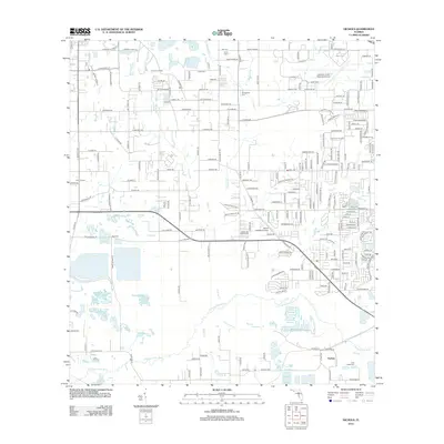
2012 Map of Nichols
USGS Topo · Published 2012About this map
Nichols and the surrounding citrus groves and phosphate lands of Polk County appear here during a period of significant suburban expansion and aviation growth. The landscape is defined by the headwaters of the N Prong Alafia River and various tributaries such as English Cr and Poley Cr. Local history is anchored by long-standing landmarks like Springhead Cem and the Little Alafia Cem, which provide essential reference points for genealogists and local historians.
Find a feature on this map
216 named features on this map. Tap any name to fly to it.
Don’t see what you’re looking for? This feature index may not catch every label — zoom into the map to look around manually.
Map Details
Editions of this 2012 Nichols Map
This is the sole edition of this map. No revisions or reprints were ever made.
Other maps of this area

1944 · Plant City
USGS Topo · 1:31,680

1944 · Lakeland
USGS Topo · 1:31,680

1944 · Antioch
USGS Topo · 1:31,680

1949 · Mulberry
USGS Topo · 1:24,000

1949 · Bradley Junction
USGS Topo · 1:24,000

1950 · Mulberry
USGS Topo · 1:24,000

1950 · Bradley Junction
USGS Topo · 1:24,000

1955 · Lithia
USGS Topo · 1:24,000

1955 · Nichols
USGS Topo · 1:24,000

1955 · Dover
USGS Topo · 1:24,000