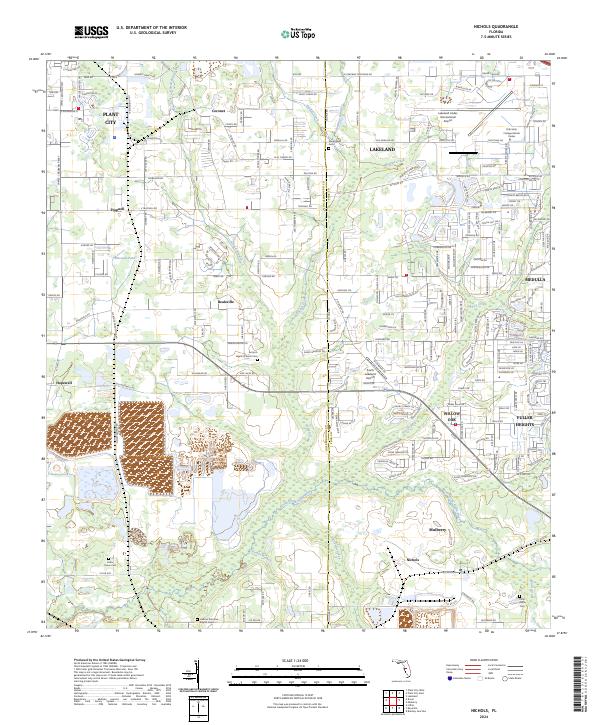
2024 Map of Nichols
USGS Topo · Published 2024About this map
The Hillsborough-Polk county line serves as a central axis for this landscape, dividing the outskirts of Plant City and Lakeland. This region is defined by its deep roots in small rural communities like Bealsville, Coronet, and Trapnell, where local history is anchored by sites like the Antioch Baptist Church Cem. The terrain transitions from these established settlements into the aviation and education hubs of the north, dominated by the Lakeland Linder International Airport and the Polk State College Airside Center.
Find a feature on this map
208 named features on this map. Tap any name to fly to it.
Don’t see what you’re looking for? This feature index may not catch every label — zoom into the map to look around manually.
Map Details
Editions of this 2024 Nichols Map
This is the sole edition of this map. No revisions or reprints were ever made.
Other maps of this area

1944 · Plant City
USGS Topo · 1:31,680

1944 · Lakeland
USGS Topo · 1:31,680

1944 · Antioch
USGS Topo · 1:31,680

1949 · Mulberry
USGS Topo · 1:24,000

1949 · Bradley Junction
USGS Topo · 1:24,000

1950 · Mulberry
USGS Topo · 1:24,000

1950 · Bradley Junction
USGS Topo · 1:24,000

1955 · Lithia
USGS Topo · 1:24,000

1955 · Nichols
USGS Topo · 1:24,000

1955 · Dover
USGS Topo · 1:24,000