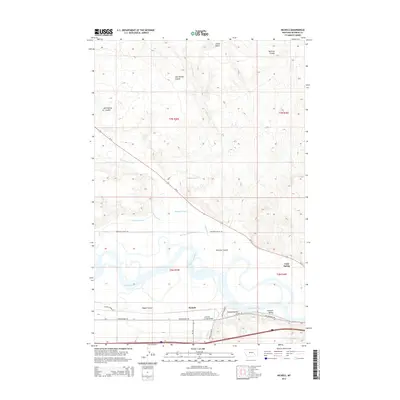
2014 Map of Nichols
USGS Topo · Published 2014About this map
The Yellowstone River meanders across this landscape, defining the transition between the rising northern bluffs and the fertile basins of Howard Valley to the south. In this 2014 survey, the settlement of Nichols and the nearby Cold Spring anchor a region shaped by both natural waterways and man-made irrigation, such as the Hammond Canal. The intricate network of drainage features, including Big Porcupine Cr, Armells Cr, and East Spring Coulee, illustrates the complex erosion patterns common in the Rosebud County badlands. Transportation across this rugged terrain is centered on Old Highway 10E and the Armells Creek Bridge, providing critical access between the northern coulees and the valley floor. Prominent landmarks like Castle Butte provide navigational reference points for this sparsely populated but geologically active section of eastern Montana.
Find a feature on this map
28 named features on this map. Tap any name to fly to it.
Don’t see what you’re looking for? This feature index may not catch every label — zoom into the map to look around manually.
Map Details
Editions of this 2014 Nichols Map
This is the sole edition of this map. No revisions or reprints were ever made.
Other maps of this area

1954 · Forsyth
USGS Topo · 1:250,000

1957 · Forsyth
USGS Topo · 1:250,000

1958 · Forsyth
USGS Topo · 1:250,000

1968 · Donleys Reservoir
USGS Topo · 1:24,000

1968 · Nichols
USGS Topo · 1:24,000

1968 · Forsyth
USGS Topo · 1:24,000

1968 · Finch NE
USGS Topo · 1:24,000

1968 · Black Coulee
USGS Topo · 1:24,000

1968 · Finch
USGS Topo · 1:24,000

1971 · Griffin Coulee NE
USGS Topo · 1:24,000