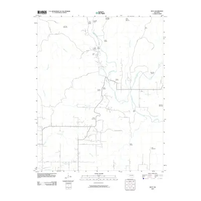
2010 Map of Nicut
USGS Topo · Published 2010About this map
Little Lee Creek and the Mission Branch carve through a landscape of high ridges and deep hollows in this eastern Oklahoma borderland. The area’s genealogical record is anchored by the John Seabolt Cemetery and Seabolt Cemetery, situated near the confluence of local drainages and early roadways. These landmarks, along with family-named features like Judy Hill and Curts Ranch, reflect a long history of rural settlement and subsistence in the Ozark foothills.
Find a feature on this map
51 named features on this map. Tap any name to fly to it.
Don’t see what you’re looking for? This feature index may not catch every label — zoom into the map to look around manually.
Map Details
Editions of this 2010 Nicut Map
This is the sole edition of this map. No revisions or reprints were ever made.
Other maps of this area

1879 · Fort Smith
USGS Topo · 1:62,500

1887 · Van Buren
USGS Topo · 1:62,500

1890 · Fort Smith
USGS Topo · 1:125,000

1898 · Winslow #3
USGS Topo · 1:62,500

1898 · Tahlequah
USGS Topo · 1:125,000

1898 · Winslow
USGS Topo · 1:125,000

1900 · Sallisaw
USGS Topo · 1:125,000

1901 · Winslow
USGS Topo · 1:125,000

1901 · Tahlequah
USGS Topo · 1:125,000

1905 · Tahlequah
USGS Topo · 1:125,000