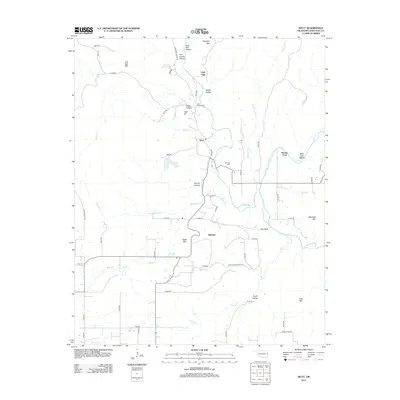
2012 Map of Nicut
USGS Topo · Published 2012About this map
Nicut and Belfonte anchor this rural landscape in eastern Oklahoma, where the terrain is defined by a dense network of creeks and prominent ridges. The geography is marked by significant elevations such as Eagle Mtn, Blackbird Mtn, and Flanagan Mtn, while the drainage system of Little Lee Cr and Salt Cr carves out numerous named hollows like Rabbit Hollow and Eagle Hollow. This 2012 survey illustrates a land where modern road naming, such as Scratchout RD and Cherokee Nation RD, meets traditional landmarks.
Find a feature on this map
61 named features on this map. Tap any name to fly to it.
Don’t see what you’re looking for? This feature index may not catch every label — zoom into the map to look around manually.
Map Details
Editions of this 2012 Nicut Map
This is the sole edition of this map. No revisions or reprints were ever made.
Other maps of this area

1879 · Fort Smith
USGS Topo · 1:62,500

1887 · Van Buren
USGS Topo · 1:62,500

1890 · Fort Smith
USGS Topo · 1:125,000

1898 · Winslow #3
USGS Topo · 1:62,500

1898 · Tahlequah
USGS Topo · 1:125,000

1898 · Winslow
USGS Topo · 1:125,000

1900 · Sallisaw
USGS Topo · 1:125,000

1901 · Winslow
USGS Topo · 1:125,000

1901 · Tahlequah
USGS Topo · 1:125,000

1905 · Tahlequah
USGS Topo · 1:125,000