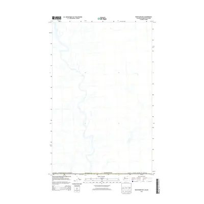
2014 Map of Nighthawk OE N
USGS Topo · Published 2014About this map
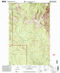
The international border between Canada and the United States defines this 2014 survey of the northern reaches of Okanogan Co, Washington. Located just north of the community of Nighthawk, the map documents the rugged borderland where the Similkameen River valley cuts through the frontier. The topographic detail highlights the hydrography of the region, including the river's winding path as it crosses the boundary line. While modern road classifications and geographic data are provided, the map's primary focus is the precise demarcation of the national boundary and the surrounding public lands, offering a clear view of the rural landscape at the edge of the Pacific Northwest during the early twenty-first century.
Find a feature on this map
3 named features on this map. Tap any name to fly to it.
Don’t see what you’re looking for? This feature index may not catch every label — zoom into the map to look around manually.
Map Details
Editions of this 2014 Nighthawk OE N Map
This is the sole edition of this map. No revisions or reprints were ever made.
Other maps of this area

1906 · Chopaka
USGS Topo · 1:125,000

1954 · Okanogan
USGS Topo · 1:250,000

1956 · Loomis
USGS Topo · 1:62,500

1956 · Horseshoe Basin
USGS Topo · 1:62,500

1958 · Okanogan
USGS Topo · 1:250,000
1981 · Hurley Peak
USGS Topo · 1:24,000
1981 · Nighthawk
USGS Topo · 1:24,000
1982 · Bullfrog Mtn
USGS Topo · 1:24,000

1984 · Oroville
USGS Topo · 1:100,000
2001 · Hurley Peak
USGS Topo · 1:24,000