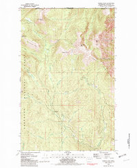
1981 Map of Hurley Peak
USGS Topo · Published 1982About this map
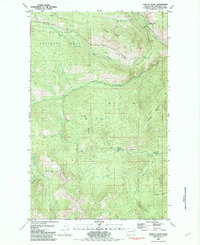
Snowshoe Mtn and the surrounding high country of the Okanogan National Forest dominate this 1981 survey along the international boundary. Located just south of Border Camp at the edge of British Columbia, the landscape is defined by remote outposts and high-elevation drainages. Isolated structures such as the Snowshoe Cabin and Johnny Bell Cabin suggest the area's history as a site for forest management, trapping, or seasonal grazing, while a Prospect near Hurley Peak hints at the mineral explorations common throughout the Okanogan Highlands.
Find a feature on this map
39 named features on this map. Tap any name to fly to it.
Don’t see what you’re looking for? This feature index may not catch every label — zoom into the map to look around manually.
Map Details
Editions of this 1981 Hurley Peak Map
This is the sole edition of this map. No revisions or reprints were ever made.
Other maps of this area

1906 · Chopaka
USGS Topo · 1:125,000

1954 · Okanogan
USGS Topo · 1:250,000

1956 · Loomis
USGS Topo · 1:62,500

1956 · Horseshoe Basin
USGS Topo · 1:62,500

1958 · Okanogan
USGS Topo · 1:250,000
1981 · Corral Butte
USGS Topo · 1:24,000
1981 · Horseshoe Basin
USGS Topo · 1:24,000
1981 · Nighthawk
USGS Topo · 1:24,000
1981 · Duncan Ridge
USGS Topo · 1:24,000
1982 · Loomis
USGS Topo · 1:24,000