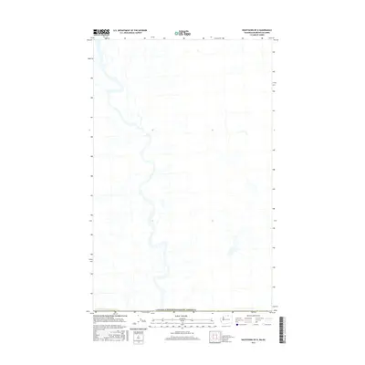
2017 Map of Nighthawk OE N
USGS Topo · Published 2017About this map
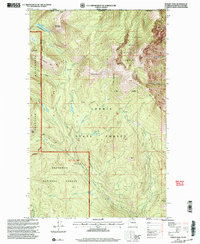
The international frontier defines the southern extent of this 2017 topographic survey, showing the boundary of Canada/United States of America. Situated in British Columbia north of the Washington border, the landscape is characterized by a network of seasonal and perennial watercourses that drain the Okanagan-Similkameen region. The map reveals the intricate drainage patterns of the area before they cross into the United States. This late-stage digital survey, produced by the U.S. Geological Survey, reflects the modern use of high-resolution imagery and elevation data to track land-use changes and watershed management in this trans-border mountain environment.
Find a feature on this map
1 named feature on this map. Tap any name to fly to it.
Don’t see what you’re looking for? This feature index may not catch every label — zoom into the map to look around manually.
Map Details
Editions of this 2017 Nighthawk OE N Map
This is the sole edition of this map. No revisions or reprints were ever made.
Other maps of this area

1906 · Chopaka
USGS Topo · 1:125,000

1954 · Okanogan
USGS Topo · 1:250,000

1956 · Loomis
USGS Topo · 1:62,500

1956 · Horseshoe Basin
USGS Topo · 1:62,500

1958 · Okanogan
USGS Topo · 1:250,000
1981 · Hurley Peak
USGS Topo · 1:24,000
1981 · Nighthawk
USGS Topo · 1:24,000
1982 · Bullfrog Mtn
USGS Topo · 1:24,000

1984 · Oroville
USGS Topo · 1:100,000
2001 · Hurley Peak
USGS Topo · 1:24,000