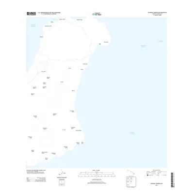
2013 Map of Niihau North
USGS Topo · Published 2013About this map
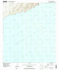
Ni‘ihau’s northern coastline is depicted here in detail, showcasing a landscape defined by dramatic transitions from coastal points to deep interior valleys. Small settlements like Ki‘i and PŁleho are situated near the island's eastern shores, reflecting the sparse but enduring human footprint on the land. The topography is dominated by numerous drainage systems, including Mokouia Valley and Kanalo Valley, which cut through the terrain toward the western coast. Along the northern edge, Lehua Landing and the sheltered Ka‘aku‘u Bay represent key access points for the island. Inland, the elevation rises toward prominent features such as Pānĩ‘au, the highest point on the island, while the shoreline is marked by distinct landmarks like Kaunuokahe Point and Pueo Point. This survey captures the island just before the mid-2010s, illustrating the relationship between its physical geography and its few established locales.
Find a feature on this map
36 named features on this map. Tap any name to fly to it.
Don’t see what you’re looking for? This feature index may not catch every label — zoom into the map to look around manually.
Map Details
Editions of this 2013 Niihau North Map
This is the sole edition of this map. No revisions or reprints were ever made.
Other maps of this area

1954 · Kauai
USGS Topo · 1:250,000

1967 · Kauai
USGS Topo · 1:250,000

1970 · Kauai
USGS Topo · 1:250,000
1984 · Niihau South
USGS Topo · 1:25,000
1984 · Niihau North
USGS Topo · 1:25,000
1989 · Keanauhi Valley
USGS Topo · 1:24,000
1989 · Honuaula Valley
USGS Topo · 1:24,000
2013 · Niihau North OE N
USGS Topo · 1:24,000
2013 · Niihau South
USGS Topo · 1:24,000
2013 · Niihau North OE NW
USGS Topo · 1:24,000