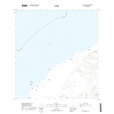
2017 Map of Niihau North OE W
USGS Topo · Published 2017About this map
Pu'uwai serves as the primary settlement on this western coast of Ni'ihau, where the landscape is defined by a series of dramatic valleys and coastal features. The terrain transitions from the shoreline at Ki'eki'e Beach and Pu'uwai Beach into an interior of deep-set geographical depressions such as Pōhueloa Valley and Hā'ao Valley. Distinctive hydrological features like Halulu Lake and Lo'e Lake punctuate the coastal plain, while the offshore environment is marked by Kuakamoku Reef. This survey documents the spatial relationship between small clusters like Paliuli and the surrounding natural barriers, including the prominent peak of Kā'eo. The network of valleys, including 'Āpana Valley and Kanahā Valley, illustrates the complex drainage patterns leading toward the Pacific Ocean.
Find a feature on this map
35 named features on this map. Tap any name to fly to it.
Don’t see what you’re looking for? This feature index may not catch every label — zoom into the map to look around manually.
Map Details
Editions of this 2017 Niihau North OE W Map
This is the sole edition of this map. No revisions or reprints were ever made.
Other maps of this area

1954 · Kauai
USGS Topo · 1:250,000

1967 · Kauai
USGS Topo · 1:250,000

1970 · Kauai
USGS Topo · 1:250,000
1984 · Niihau South
USGS Topo · 1:25,000
1984 · Niihau North
USGS Topo · 1:25,000
1989 · Halalii Lake
USGS Topo · 1:24,000
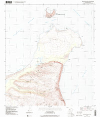
1989 · Keanauhi Valley
USGS Topo · 1:24,000
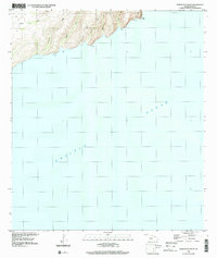
1989 · Honuaula Valley
USGS Topo · 1:24,000
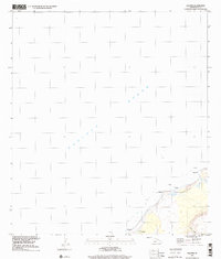
1989 · Kalanei
USGS Topo · 1:24,000

2013 · Niihau South OE W
USGS Topo · 1:24,000