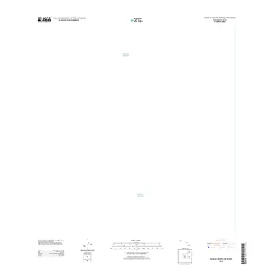
2013 Map of Niihau South OE W
USGS Topo · Published 2013About this map
The vast expanse of the Pacific Ocean dominates this maritime survey off the southern coast of Niihau. Produced by the U.S. Geological Survey in the early 21st century, the map focuses on the hydrography and open waters of Kauai County. While the terrestrial features of the island itself lie beyond the margins of this specific sheet, the map provides an essential look at the bathymetry and oceanic boundaries that define the westernmost reaches of the Hawaiian chain during this period.
Find a feature on this map
1 named feature on this map. Tap any name to fly to it.
Don’t see what you’re looking for? This feature index may not catch every label — zoom into the map to look around manually.
Map Details
Editions of this 2013 Niihau South OE W Map
This is the sole edition of this map. No revisions or reprints were ever made.
Other maps of this area

1954 · Kauai
USGS Topo · 1:250,000

1967 · Kauai
USGS Topo · 1:250,000

1970 · Kauai
USGS Topo · 1:250,000
1984 · Niihau South
USGS Topo · 1:25,000
1989 · Halalii Lake
USGS Topo · 1:24,000
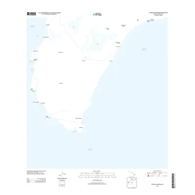
2013 · Niihau South
USGS Topo · 1:24,000
2013 · Niihau North OE W
USGS Topo · 1:24,000
2017 · Niihau South OE W
USGS Topo · 1:24,000
2017 · Niihau North OE W
USGS Topo · 1:24,000
2017 · Niihau South
USGS Topo · 1:24,000