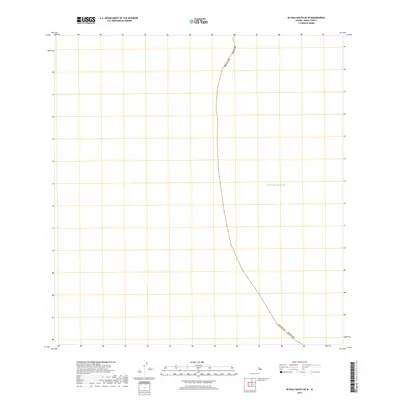
2017 Map of Niihau South OE W
USGS Topo · Published 2017About this map
The Pacific Ocean dominates this maritime survey, illustrating the vast offshore waters of Kauai County, Hawaii. This particular quadrangle is focused almost entirely on the open sea, serving as a navigation and boundary reference for the southwestern reaches of the island chain. The only terrestrial or political demarcations present are the maritime county boundaries, which track the administrative limits of the state through the open water. Unlike inland maps with dense topographic data, this sheet emphasizes the maritime expanse, reflecting the remote nature of the region's marine environment as it appeared in the mid-2010s.
Find a feature on this map
2 named features on this map. Tap any name to fly to it.
Don’t see what you’re looking for? This feature index may not catch every label — zoom into the map to look around manually.
Map Details
Editions of this 2017 Niihau South OE W Map
This is the sole edition of this map. No revisions or reprints were ever made.
Other maps of this area

1954 · Kauai
USGS Topo · 1:250,000

1967 · Kauai
USGS Topo · 1:250,000

1970 · Kauai
USGS Topo · 1:250,000
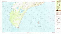
1984 · Niihau South
USGS Topo · 1:25,000
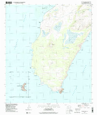
1989 · Halalii Lake
USGS Topo · 1:24,000
2013 · Niihau South OE W
USGS Topo · 1:24,000
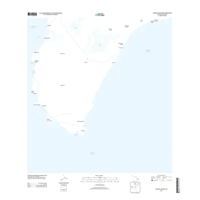
2013 · Niihau South
USGS Topo · 1:24,000
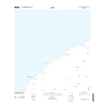
2013 · Niihau North OE W
USGS Topo · 1:24,000
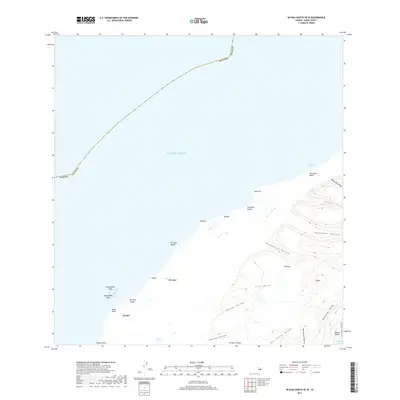
2017 · Niihau North OE W
USGS Topo · 1:24,000
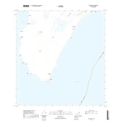
2017 · Niihau South
USGS Topo · 1:24,000